Photo Pages. Photos on this page are from sub-basin Salmon Creek
and series GIS: PALCO Aquatic Invertebrate, Sediment, Temperature Sampling Locations in late 1990s.
Click on any thumbnail to see a larger photo.
For detailed information on these photos click here.
7 KB
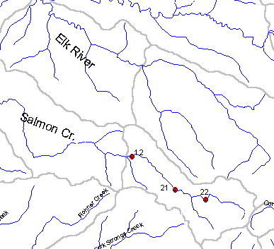
This map image shows the relative locations of the Pacific Lumber Company aquatic insect and sediment monitoring stations within the Salmon Creek basin. Map from Institute for Fisheries Resources.
32 KB
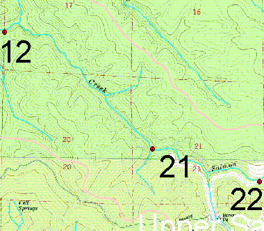
This map shows the PL insect and fine sediment monitoring locations in the Salmon Creek watershed. Station number 12 is Lower Salmon, number 21 is Middle Salmon and 22 is Upper Salmon. Map from Institute for Fisheries Resources.
 32 KB
32 KB