Photo Pages. Photos on this page are from sub-basin Basin-wide/Regional
and series GIS: Roads in Humboldt Bay Sub-Basins 2000.
Click on any thumbnail to see a larger photo.
For detailed information on these photos click here.
94 KB
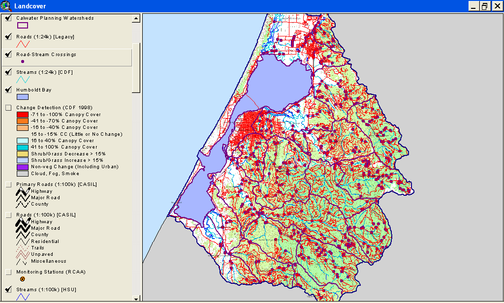
This is a map image of all Humboldt Bay Calwater Planning Watersheds with roads and stream crossings. See map topics for zoom capability.