Area/Topic  |  Bibliography   |  Background   |  Hypotheses   |  Home


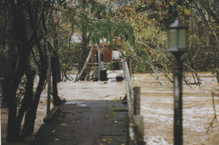
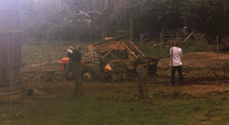
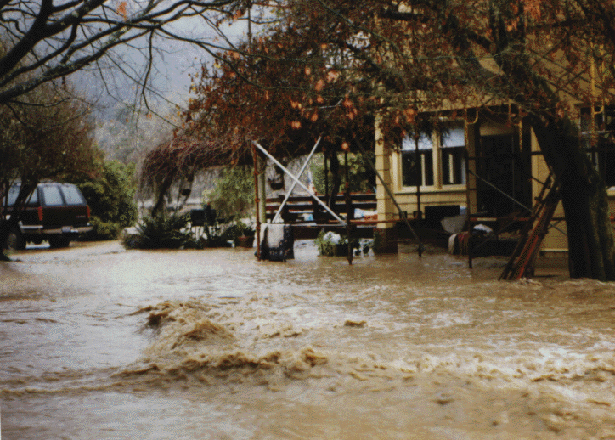
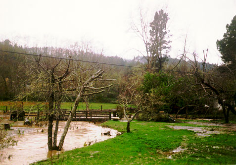
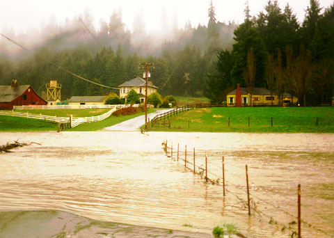
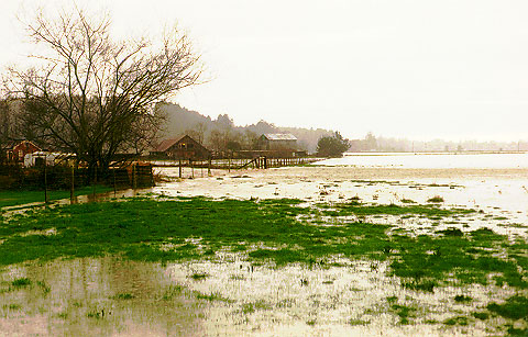
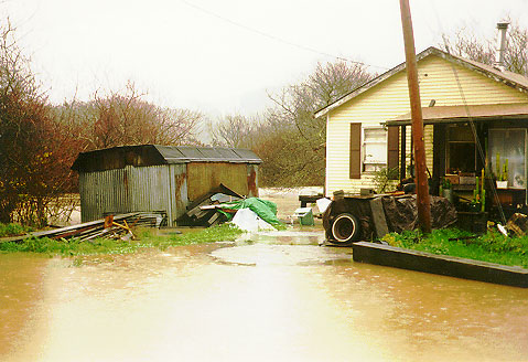
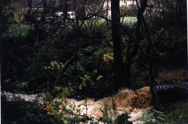
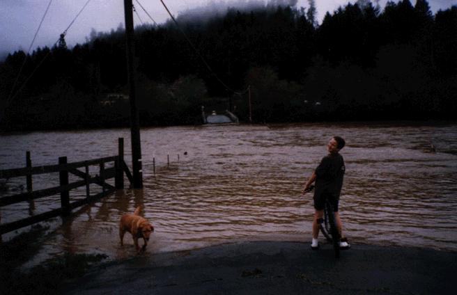
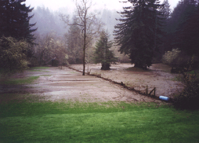
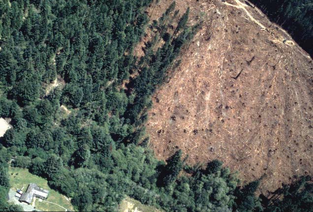
Photo Database Series Floods: Freshwater Creek Flooding 1997

Click on any thumbnail to see a larger photo. For detailed information on these photos click here.

../topics/fc/fc050.gif + 236 KB   236 KB
Freshwater Creek threatens a stream side home during high flows on January 1, 1997. Photo by Freshwater resident.

../topics/fc/fc059.gif + 159 KB   159 KB
Large sediment deposit in Freshwater Slough, an arm of Humboldt Bay taken in spring 1997 after the January storm event. Photo from Freshwater resident.

../topics/fc/fc49.gif + 192 KB   192 KB
Freshwater Creek over topped its banks and spilled into the yard of stream side residents during high flows on January 1, 1997. Photo by Freshwater residents.

../topics/fc/fresh1.jpg + 57 KB   57 KB
This photograph shows Freshwater Creek running very turbid during high flows in January 1997 just below the convergence of McCready Gulch. Photo by Freshwater resident.

../topics/fc/fresh105.gif + 244 KB   244 KB
Large sediment deposit in Freshwater Slough, an arm of Humboldt Bay taken in spring 1997 after the January storm event. Photo from Freshwater resident.

../topics/fc/fresh3.jpg + 51 KB   51 KB
Freshwater Creek during high flows on January 1, 1997 over topping its banks and flooding a roadway at Howard Heights. Photo by Freshwater resident.

../topics/fc/fresh4.jpg + 76 KB   76 KB
This photo shows Freshwater Creek over-topping its banks and spilling out onto agricultural land at Three Corners on January 1, 1997. Photo by Freshwater resident.

../topics/fc/fresh5.jpg + 65 KB   65 KB
Flood waters from Freshwater Creek spill on to Old Arcata Road at Three Corners posing a flood risk to the stream side home. Photo by Pat Higgins.

../topics/fc/fresh94a.gif + 220 KB   220 KB
High turbid water flowing from the culvert is draining an area that was recently logged. Photo taken by Freshwater resident during high flows on January 1, 1997.

../topics/fc/fresh95a.gif + 122 KB   122 KB
Boy and dog for scale in the near groiund show the dangerous level of flooding at Howard Heights on New Years Day 1997. Photo by Freshwater resident.

../topics/fc/fresh97a.gif + 159 KB   159 KB
Flood waters from Freshwater Creek deposited a large amount of silt on this stream side property in January 1997. The fence in the photo also sustained damage. Photo by Freshwater residents

../topics/fc/thron25.jpg + 84 KB   84 KB
This clear cut right above a residence in upper Freshwater produced substantial non-point source pollution that was transported accross the neighboring property (see photo #2. Aerial photo courtesy of Doug Thron.


  www.krisweb.com