Photo Database Series GIS: Roads in Humboldt Bay Sub-Basins 2000
Click on any thumbnail to see a larger photo.
For detailed information on these photos click here.
185 KB
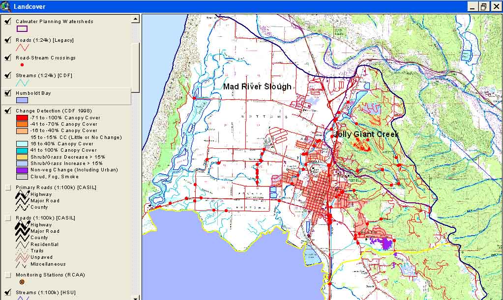
This is a map image of Arcata Calwater Planning Watersheds with roads, stream crossings and landscape change scene detection from the USFS Spatial Analysis Lab and California Department of Forestry FRAP Division. The latter is derived from comparison of 1994 and 1998 Landsat images.
94 KB
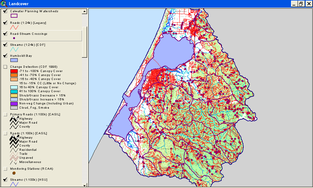
This is a map image of all Humboldt Bay Calwater Planning Watersheds with roads and stream crossings. See map topics for zoom capability.
167 KB
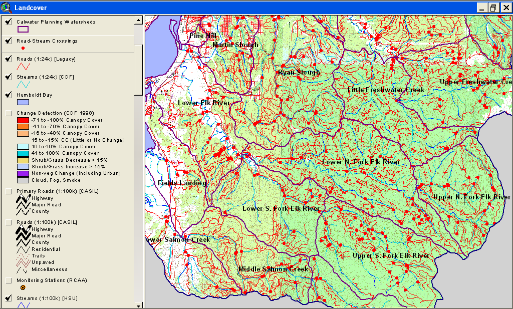
This is a map image of all Elk River Calwater Planning Watersheds with roads and stream crossings. See map topics for zoom capability.
165 KB
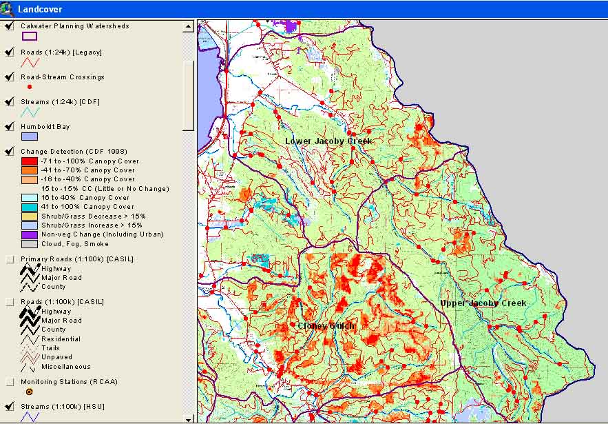
This is a map image of Jacoby Calwater Planning Watersheds with roads, stream crossings and landscape change scene detection from the USFS Spatial Analysis Lab and California Department of Forestry FRAP Division. The latter is derived from comparison of 1994 and 1998 Landsat images.
 94 KB
94 KB
 167 KB
 165 KB