| Area |
Arcata |
| Topic |
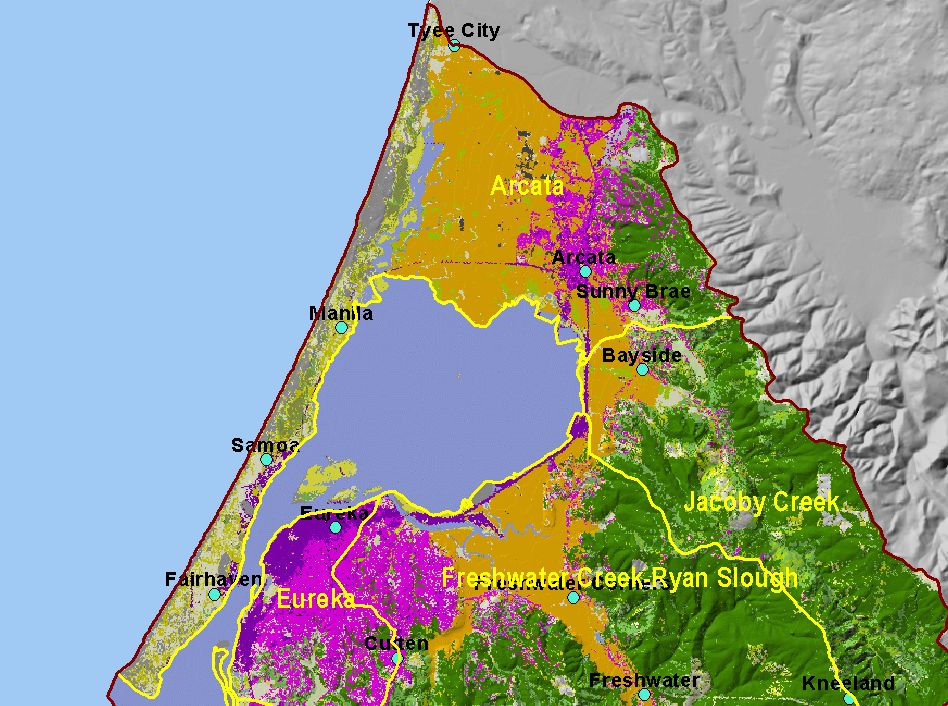
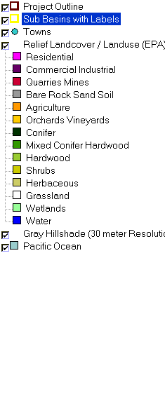
Map: D. EPA Landcover/Landuse, Arcata Sub-basin |
To view a more detailed version of this map click
here
|
This is a map of the EPA Landcover/Landuse in the Arcata sub-basin, based on a 1992 Landsat TM satellite image. The portion of the project area centered in Eureka
is heavily urbanized (shown in hot pink). Flat areas in the northern portion are mostly agriculture (orange). The majority of land use in this sub-basin is agricultural,
sand-shrub-herbaceous, and urban-commercial-residential.
|
|
|
 |
 |
To view metadata about a map layer, click on a link in the table below.
| Name of Layer in Map Legend | Metadata File Name |
|---|
| Project Outline | Unavailable |
| Sub Basins with Labels | subbasins.shp.txt |
| Towns | Unavailable |
| Relief Landcover / Landuse (EPA) | Unavailable |
| Gray Hillshade (30 meter Resolution) [TIFF] | grayshade30m.tif.txt |
| Pacific Ocean | Unavailable |
If you obtain KRIS on a CD and install it on your hard drive as a desktop program, you will have access to increased map capabilities such as zooming in/out, turning layers on/off, adding layers and changing legends.
