| Area |
Arcata |
| Topic |
Map: E. USFS Vegetation Size, Arcata Sub-basin |
To view a more detailed version of this map click
here
|
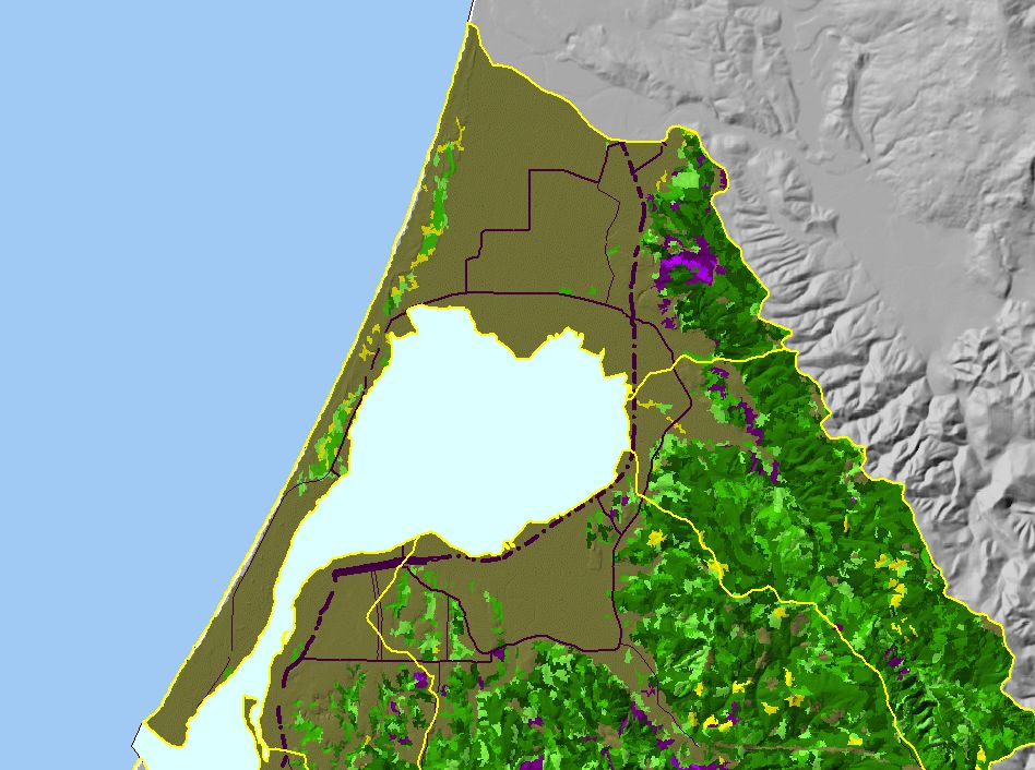
This is a map of 1999 USFS Landsat-based vegetation size data for the Arcata sub-basin. The vegetation classification is accurate at a one-hectare scale
(approximately 11 pixels) and is suitable for stand classification. Most of the area in this sub-basin is classified as "other (non-forest), as it is primarily flat agricultural
land and sand spit. Some forest, including old growth, is visible in the north east corner. Data provided by the U.S. Forest Service Spatial Analysis Lab in Sacramento,
CA.
|
|
|
 |
 |
To view metadata about a map layer, click on a link in the table below.
| Name of Layer in Map Legend | Metadata File Name |
|---|
| Sub Basins | subbasins.shp.txt |
| Humboldt Bay | Unavailable |
| Roads (1:100k) - Abbreviated | Unavailable |
| Relief Vegetation by Size (USFS 1999) [TIFF} | shadesize99.tif.txt |
| Gray Hillshade (30 meter Resolution) [TIFF] | grayshade30m.tif.txt |
| Pacific Ocean | Unavailable |
If you obtain KRIS on a CD and install it on your hard drive as a desktop program, you will have access to increased map capabilities such as zooming in/out, turning layers on/off, adding layers and changing legends.
