| Area |
Basin-wide/Regional |
| Topic |
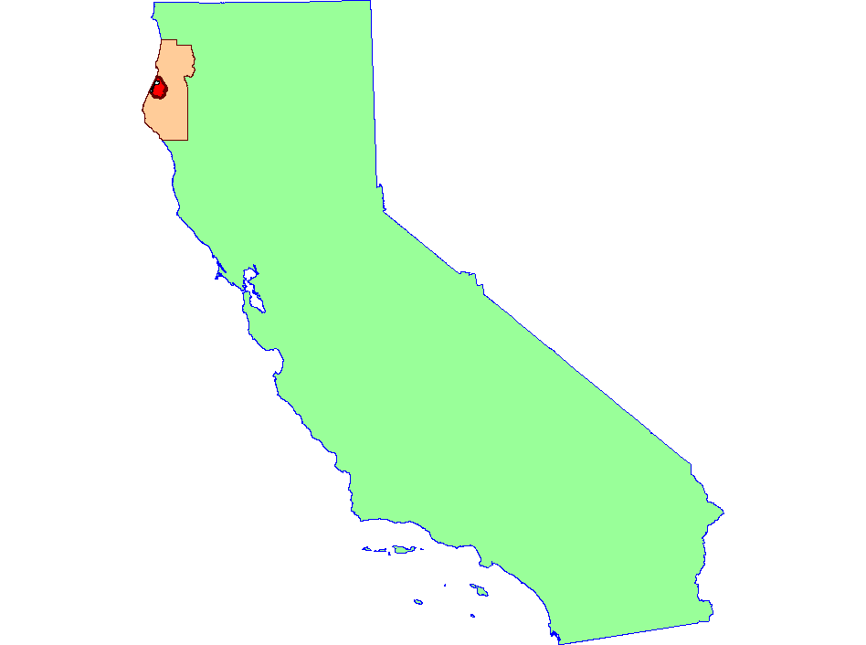
Map: A. Project Location of KRIS Humboldt Bay |
To view a more detailed version of this map click
here
|
This is a map of the regional location of the KRIS Humboldt Bay project area (red fill). The project area is entirely contained within Humboldt County. Click the check
box next to a layer to toggle it on/off. Scale = 1:6,951,832 .
|
|
|
 |
 |
To view metadata about a map layer, click on a link in the table below.
| Name of Layer in Map Legend | Metadata File Name |
|---|
| Humboldt Bay | Unavailable |
| Project Boundary | Unavailable |
| Humboldt County | Unavailable |
| State of California | Unavailable |
If you obtain KRIS on a CD and install it on your hard drive as a desktop program, you will have access to increased map capabilities such as zooming in/out, turning layers on/off, adding layers and changing legends.
