| Area |
Basin-wide/Regional |
| Topic |
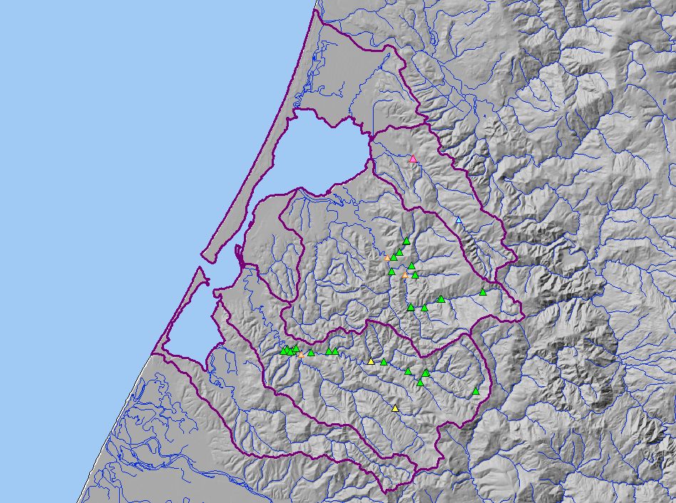
Map: P. Turbidity Threshold Sampling Stations, Humboldt Bay |
|
This map show the location of turbidity threshold sampling stations in the Humboldt Bay Basin. Data collectors include Salmon Forever, PALCO, Redwood Sciences
Lab, and Randy Klein.
|
|
|
 |
 |
To view metadata about a map layer, click on a link in the table below.
If you obtain KRIS on a CD and install it on your hard drive as a desktop program, you will have access to increased map capabilities such as zooming in/out, turning layers on/off, adding layers and changing legends.
