| Area |
Basin-wide/Regional |
| Topic |
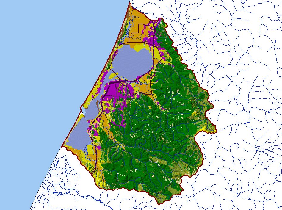
Map: I. USFS Vegetation Type, Humboldt Bay |
To view a more detailed version of this map click
here
|
This is a map of 1999 USFS Landsat vegetation type data in the Humboldt Bay Basin. Unlike the vegetation size theme, these data differentiate between hardwoods
and conifers. The vegetation classification is accurate at a one-hectare scale (approximately 11 pixels) and is suitable for stand classification. Data provided by the
U.S. Forest Service Spatial Analysis Lab in Sacramento, CA.
|
|
|
 |
 |
To view metadata about a map layer, click on a link in the table below.
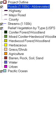
| Name of Layer in Map Legend | Metadata File Name |
|---|
| Project Outline | Unavailable |
| Roads (1:100k) - Abbreviated | Unavailable |
| Streams (1:100k) | stm100.shp.txt |
| Relief Vegetation by Type (USFS 1998) [TIFF] | shadetype99.tif.txt |
| Pacific Ocean | Unavailable |
If you obtain KRIS on a CD and install it on your hard drive as a desktop program, you will have access to increased map capabilities such as zooming in/out, turning layers on/off, adding layers and changing legends.
