
| Area | Freshwater Creek-Ryan Slough |
| Topic | Aquatic Insects: EPT Main Freshwater Above SF 1994-1998 |
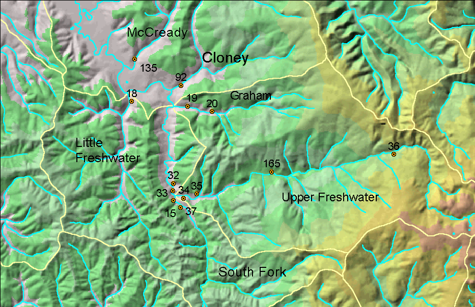
This image shows a map of the Freshwater Creek basin with PALCO aquatic insect and sediment monitoring locations. Map image from the Institute for Fisheries Resources.
Timber Harvest permits from California Department of Forestry by year for the upper Freshwater Creek watershed. Image from the Institute for Fisheries Resources KRIS Coho project.
Map image of main haul roads and county roads in the upper Freshwater Creek watershed with PL monitoring locations also displayed. Map from IFR KRIS Coho project.
 Click on image to enlarge (276K).
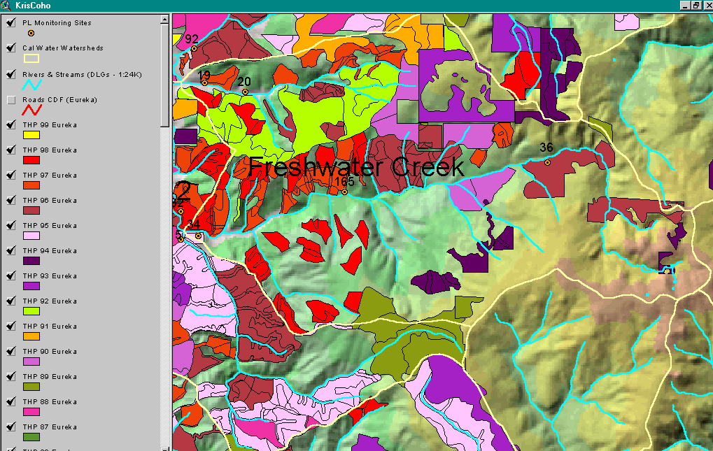 Click on image to enlarge (159K).
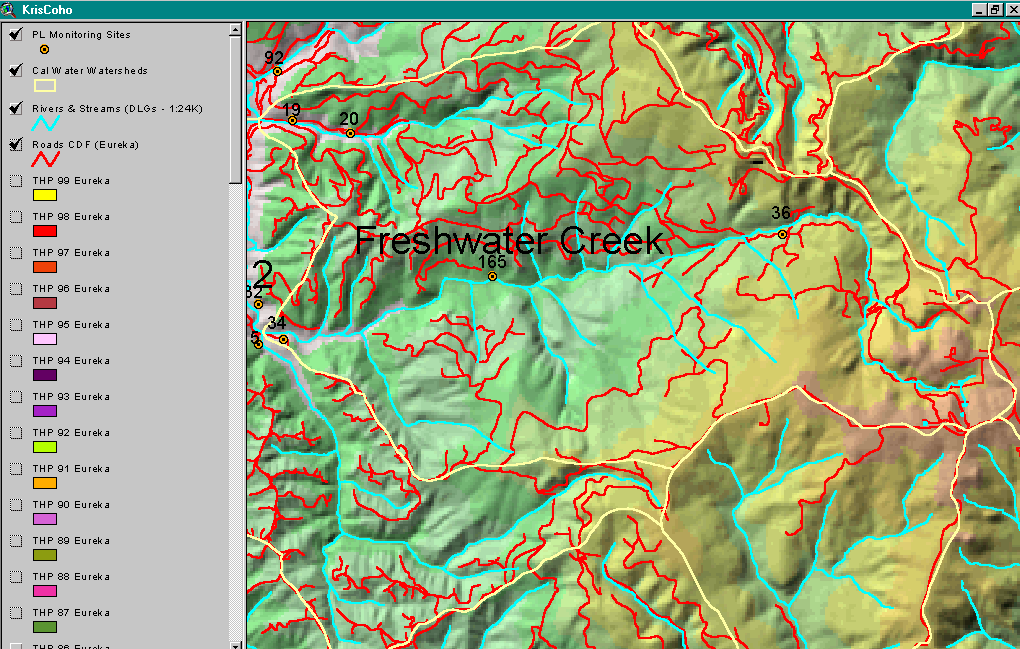 Click on image to enlarge (210K).
To learn more about this topic click Info Links
To view additional information (data source, aquisition date etc.) about this page, click Metadata
| www.krisweb.com |