| Area |
Jacoby Creek |
| Topic |
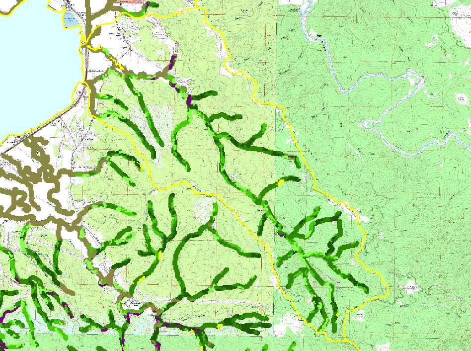
Map: F. USFS Riparian Vegetation Size, Jacoby Creek Sub-basin |
To view a more detailed version of this map click
here
|
This is a map of 1999 USFS Landsat vegetation size data within 90-meter riparian buffer zones in the Jacoby Creek sub-basin. Reaches of streams flowing through
grassland or open flatland often have Non-Forest riparian zones. This may be partially due to grazing and agricultural management practices, as well as urbanization.
Data provided by the U.S. Forest Service Spatial Analysis Lab in Sacramento, CA. The vegetation classification is accurate at a one-hectare scale (approximately 11
pixels) and is suitable for stand classification.
|
|
|
 |
 |
To view metadata about a map layer, click on a link in the table below.
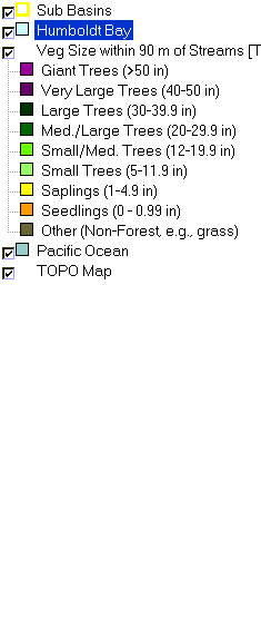
| Name of Layer in Map Legend | Metadata File Name |
|---|
| Sub Basins | subbasins.shp.txt |
| Humboldt Bay | Unavailable |
| Veg Size within 90 m of Streams [TIFF] | vgszbuf99.tif.txt |
| Pacific Ocean | Unavailable |
| TOPO Map | Unavailable |
If you obtain KRIS on a CD and install it on your hard drive as a desktop program, you will have access to increased map capabilities such as zooming in/out, turning layers on/off, adding layers and changing legends.
