| Area |
Salmon Creek |
| Topic |
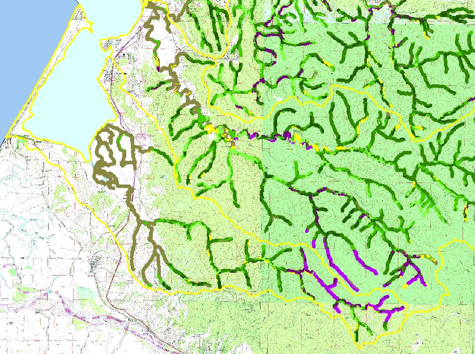
Map: F. USFS Riparian Vegetation Size, Salmon Creek Sub-basin |
To view a more detailed version of this map click
here
|
This is a map of 1999 USFS Landsat vegetation size data within 90-meter riparian buffer zones in the Salmon Creek sub-basin. Reaches of streams flowing through
grassland or open flatland often have Non-Forest riparian zones. This may be partially due to grazing and agricultural management practices, as well as urbanization.
However, a large proportion of this sub-basin is timberland, and is harvested extensively. Data provided by the U.S. Forest Service Spatial Analysis Lab in Sacramento,
CA. The vegetation classification is accurate at a one-hectare scale (approximately 11 pixels) and is suitable for stand classification.
|
|
|
 |
 |
To view metadata about a map layer, click on a link in the table below.
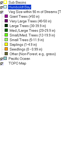
| Name of Layer in Map Legend | Metadata File Name |
|---|
| Sub Basins | subbasins.shp.txt |
| Humboldt Bay | Unavailable |
| Veg Size within 90 m of Streams [TIFF] | vgszbuf99.tif.txt |
| Pacific Ocean | Unavailable |
| TOPO Map | Unavailable |
If you obtain KRIS on a CD and install it on your hard drive as a desktop program, you will have access to increased map capabilities such as zooming in/out, turning layers on/off, adding layers and changing legends.
