Area/Topic  |  Bibliography   |  Background   |  Home


KRIS Klamath : Map Page

Area Lower Klamath/Basin-wide
Topic Map: 1E. Existing and Potential Wilderness, Klamath Basin
 
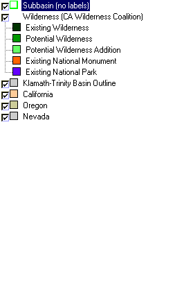
This is a map of existing and potential wilderness areas in the Klamath basin and surrounding areas, displayed with KRIS sub-basins. The Klamath Basin contains a great deal of federal land, particularly National Forests in the western and eastern portions of the basin. Large tracts of private land occur in the Scott, Shasta and Upper Klamath basins. Much of the western portion of the Lower Klamath Basin is also private land.Data were provided by Humboldt State University and Klamath National Forest.


 To view metadata about a map layer, click on a link in the table below.
Name of Layer in Map LegendMetadata File Name
Subbasin (no labels) tfsubwsd.shp.txt
Wilderness (CA Wilderness Coalition) cawild34c.shp.txt
Klamath-Trinity Basin Outline klambsn_outl.shp.txt
California Unavailable
Oregon oregon_bdry.shp.txt
Nevada nevada_bdry.shp.txt


  www.krisweb.com