
| Area | Middle Klamath |
| Topic | Map: Mid Klamath West Marble Region Water Quality & Quant. (hotlink) |
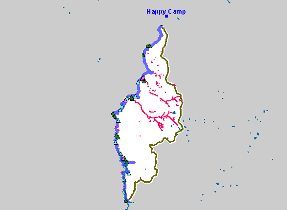
| This is a map of water quality and quantity monitoring sites in the West Marble region. | |||
 |
 |
||
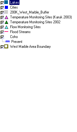
To view metadata about a map layer, click on a link in the table below.
| Name of Layer in Map Legend | Metadata File Name |
|---|---|
| Lakes | lakes.shp.txt |
| Cities | kb_cities.shp.txt |
| 200K_West_Marble_Buffer | 200k_west_marble_buffer.shp.txt |
| Temperature Monitoring Sites (Karuk 2003) | mk_temp_sites.shp.txt |
| Temperature Monitoring Sites 2002 | temp_pts.shp.txt |
| Flow Monitoring Sites | flow_sites.shp.txt |
| Flood Streams | fld_strms.shp.txt |
| Coho | kb_fish.shp.txt |
| West Marble Area Boundary | west_marble.shp.txt |
| Elevation (in Meters) | mk_elev.tif.txt |
| Grey Hillshade | mk_hlshd.tif.txt |
| www.krisweb.com |