
| Area | Middle Klamath |
| Topic | Tour: Aerial Photos Walker Creek Post 1997 Flood |
The photo above shows Walker Creek after the 1997 storm. The stream channel went from 50 to 150 feet wide as a result of debris torrents in the area depicted. The Walker Creek watershed burned in 1987 and was subsequently salvage logged. Multiple road crossing failures in this watershed contributed to sediment considerably. Photo provided by the USFS Redwood Sciences Lab. Use Pan function or click Fit to see whole image. Press F1 for help in use of Picture tools.
The photo above shows Walker Creek just upstream of where Picture #1 was taken with downstream at the top of the image. The stream channel is very shallow and wide after the debris torrent. This causes the stream temperature to rise considerably. The area surrounding the stream was burned in 1987 and subsequently salvage logged, although logging was restricted in streamside areas. Photo provided by the USFS Redwood Sciences Lab.
This photo was taken looking east up a tributary of Walker Creek. The greater width of the stream channel would suggest that it contributed more sediment than the smaller channel that converges from the right. Photo provided by the USFS Redwood Sciences Lab.
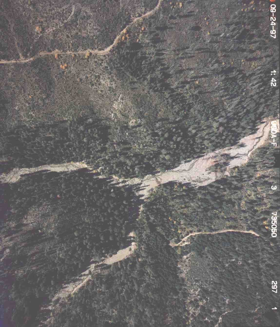 Click on image to enlarge (112K).
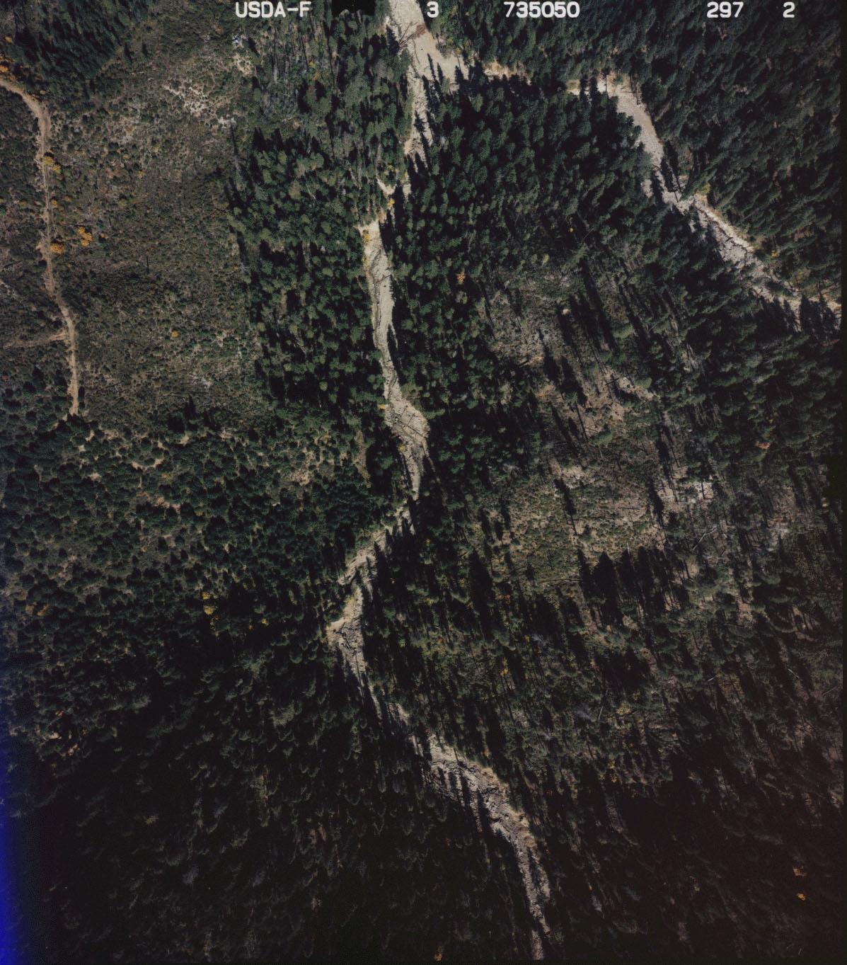 Click on image to enlarge (359K).
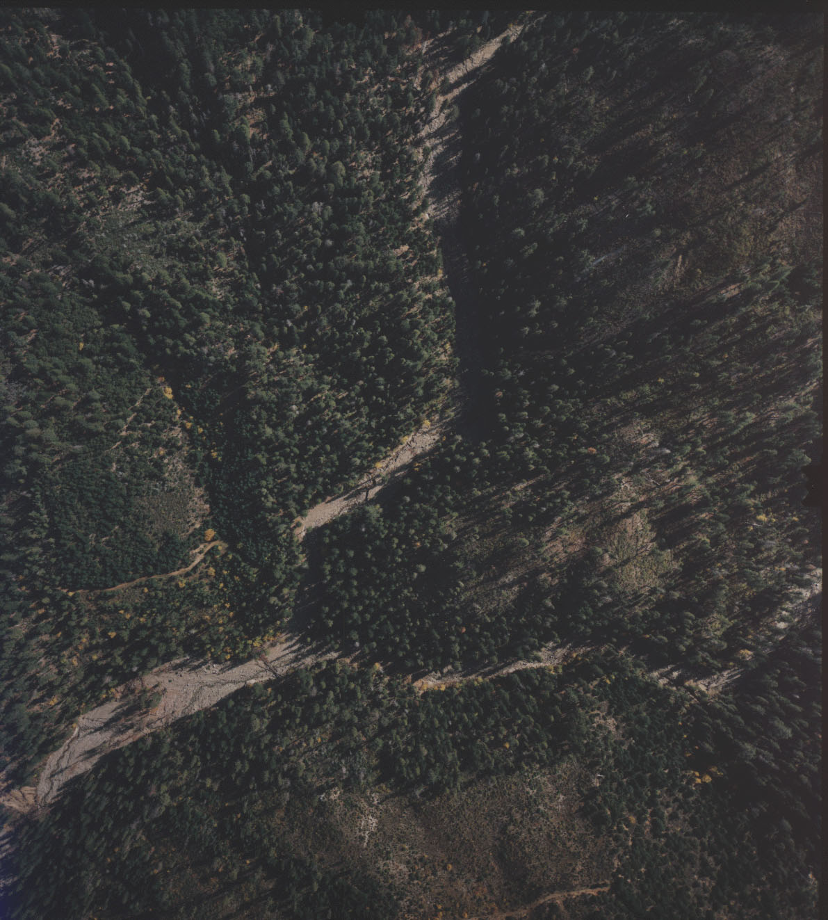 Click on image to enlarge (271K).
To learn more about this topic click Info Links
To view additional information (data source, aquisition date etc.) about this page, click Metadata
| www.krisweb.com |