
| Area | Middle Klamath |
| Topic | Sediment: Landslides and ERFO Sites (1997) |
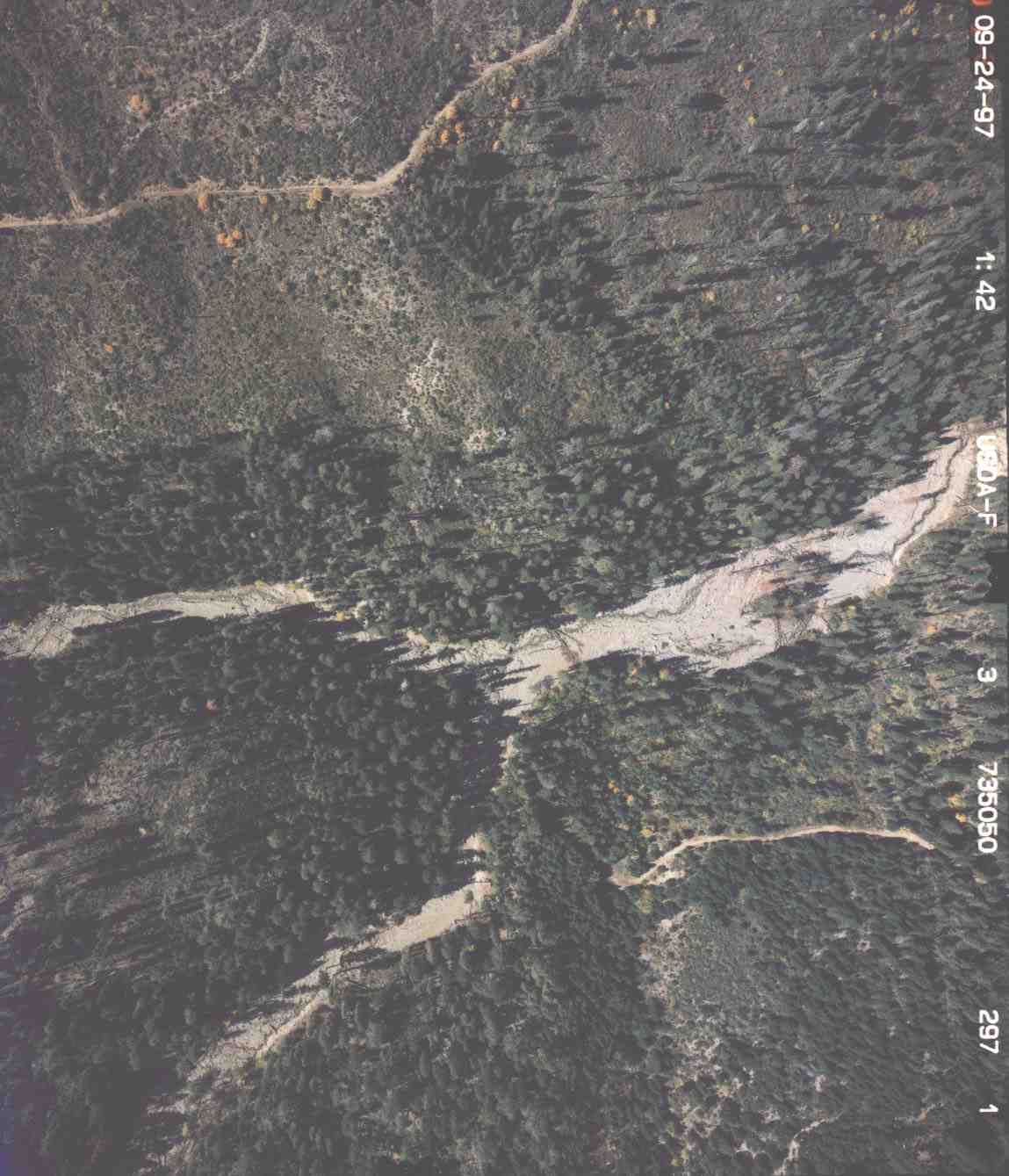
The photo above is of Walker Creek taken by the USFS as part of flood damage assessment in September 1997. The Walker Creek watershed experienced multiple road crossing failures and landslides. Debris torrents resulted in both its major tributaries. The convergence of these is shown above where the mainstem of Walker Creek went from 50 feet to 200 feet wide after January 1, 1997. It will take decades for this stream channel to recover.
 Click on image to enlarge (112K).
To learn more about this topic click Info Links
To view additional information (data source, aquisition date etc.) about this page, click Metadata
| www.krisweb.com |