
| Area | Middle Klamath |
| Topic | Tour: USFS Restoration Structures Indian Cr Mile 8.9 1997 |
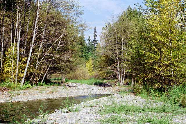
This reach of Indian Creek experienced significant aggradation as a result of the January 1997 storm. Boulder clusters installed in this reach were buried (see Picture #2). Boulders in Picture #2 are at the base of the trees where the creek goes out of view. Photo by Pat Higgins taken in September 1997 as part of Klamath Restoration Program Mid-Term Evaluation (see Info Links).
Klamath National Forest fisheries biologists Al Olson (left) and Bill Beamis pictured during a September 1997 field reconnaissance of Indian Creek. The boulder structure in the margin of the stream was partially buried by shifting bedload during the January 1997 storm. Other clusters in the reach were completely buried. Photo by Pat Higgins taken in September 1997 as part of Klamath Restoration Program Mid-Term Evaluation (see Info Links).
Close up of the boulder structure in Picture #2 in the margin of Indian Creek that was partially buried by shifting bedload during the January 1997 storm. Photo by Pat Higgins taken in September 1997 as part of Klamath Restoration Program Mid-Term Evaluation (see Info Links).
Indian Creek forming a four-foot deep pool at the base of an alder tree at the bottom of the reach in Picture #1. Pool frequency was probably decreased by high flows in January 1997, but some quality pools for salmonid rearing habitat remained. Photo by Pat Higgins taken in September 1997 as part of Klamath Restoration Program Mid-Term Evaluation (see Info Links).
 Click on image to enlarge (112K).
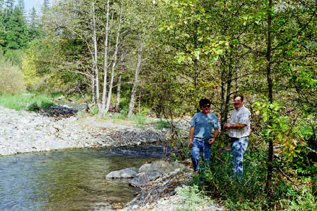 Click on image to enlarge (77K).
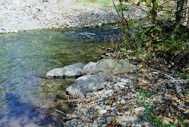 Click on image to enlarge (68K).
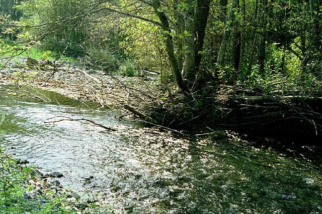 Click on image to enlarge (106K).
To learn more about this topic click Info Links
To view additional information (data source, aquisition date etc.) about this page, click Metadata
| www.krisweb.com |