
| Area | Middle Klamath |
| Topic | Tour: USFS Restoration Structures Indian Cr Mile 8.9 Various Years |
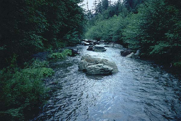
This photo shows boulder clusters in Indian Creek after a spring storm on May 30, 1990 at Mile 9.0. Photo provided by Al Olson, Klamath National Forest. (KNF Note: Indc 9.0 Upstream RAT 13.43)
This photo shows Indian Creek at Mile 8.9 in October 1990. A boulder cluster is in the stream at far right. Photo provided by Al Olson, Klamath National Forest.
This photo shows boulder clusters and boulder cluster and root wad structures on Indian Creek at Mile 8.9 in October 1990. This reach experienced major channel adjustments as a result of January 1997 storm (see Pictures #6-7). Photo provided by Al Olson, Klamath National Forest.
This photo shows boulder clusters on Indian Creek at Mile 8.9 in October 1990. This reach experienced major channel adjustments as a result of January 1997 storm (see Pictures #6-7). Photo provided by Al Olson, Klamath National Forest.
This photo shows boulder clusters and boulder cluster and root wad structures on Indian Creek at Mile 8.9 in October 1990. This reach experienced major channel adjustments as a result of January 1997 storm (see Pictures #6-7). Photo provided by Al Olson, Klamath National Forest.
Boulder cluster/root wad structure on Indian Creek at Mile 8.9 in October 1990. Photo provided by Al Olson, Klamath National Forest.
Major bed shifts in Indian Creek at Mile 8.9 during the January 1997 storm event buried or scoured instream structures and left a dry side channel area. Photo taken in September 1997. Photo provided by Al Olson, Klamath National Forest.
This photo shows Indian Creek at Mile 8.9 in September 1997 after high flows in January 1997. Course material in the center of the photo was transported during high flows. A portion of a boulder weir can be seen at left. Aggradation created an island, causing the channel to braid. Photo provided by Al Olson, Klamath National Forest.
 Click on image to enlarge (64K).
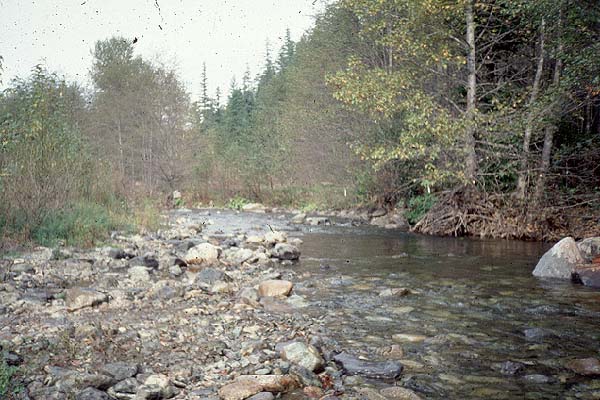 Click on image to enlarge (69K).
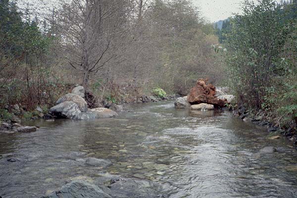 Click on image to enlarge (61K).
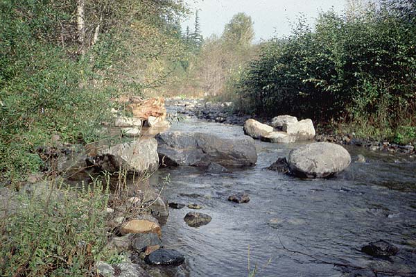 Click on image to enlarge (82K).
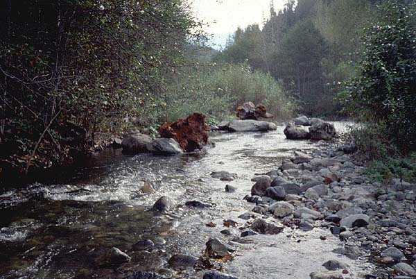 Click on image to enlarge (74K).
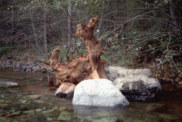 Click on image to enlarge (51K).
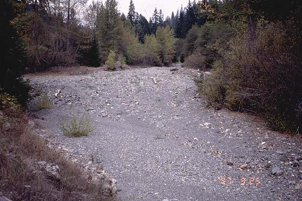 Click on image to enlarge (76K).
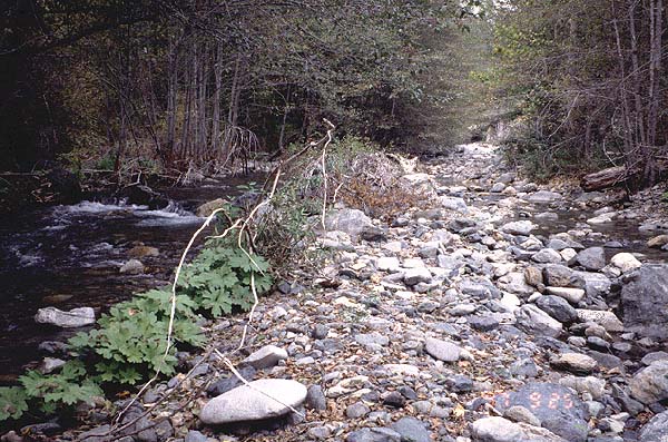 Click on image to enlarge (96K).
To learn more about this topic click Info Links
To view additional information (data source, aquisition date etc.) about this page, click Metadata
| www.krisweb.com |