
| Area | Middle Klamath |
| Topic | Tour: 2002 Photo Points of Beaver Creek and Bluff Creek |
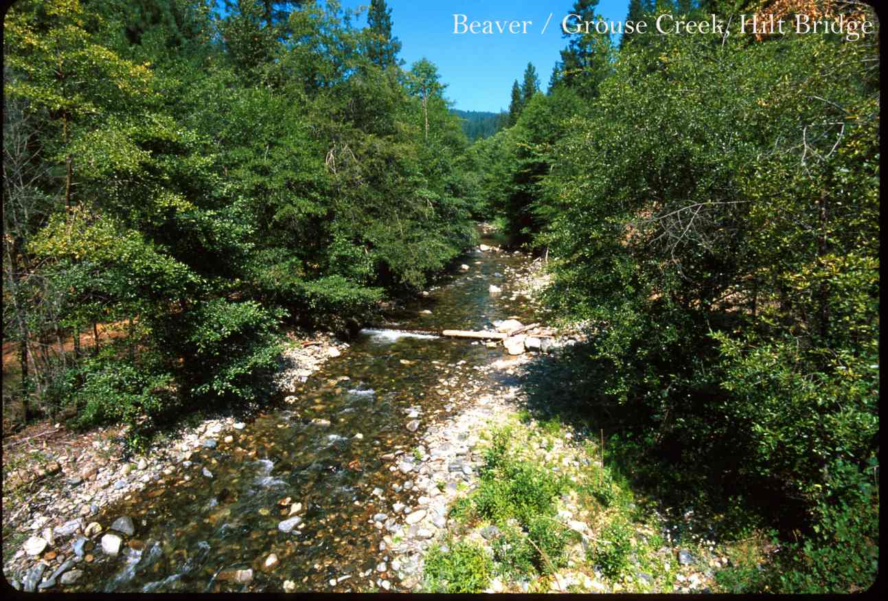
This photo shows Beaver Creek at Hilt Bridge. Photo contributed by Michael Hentz. 2002.
This photo shows Beaver Creek at the Hwy 96 Bridge. Photo contributed by Michael Hentz. 2002.
This photo shows Beaver Creek at Riparian Road Corridor. Photo contributed by Michael Hentz. 2002.
This photo shows Bluff Creek in Blue Lake. Photo contributed by Michael Hentz. 2002.
This photo shows Bluff Creek at Fish Lake. Photo contributed by Michael Hentz. 2002.
This photo shows Bluff Creek Confluence at Sheldon Butte. Photo contributed by Michael Hentz. 2002.
This photo shows Bluff Creek at Twin Lakes. Photo contributed by Michael Hentz. 2002.
This photo shows Bluff Creek's Upper Watershed. Photo contributed by Michael Hentz. 2002.
 Click on image to enlarge (168K).
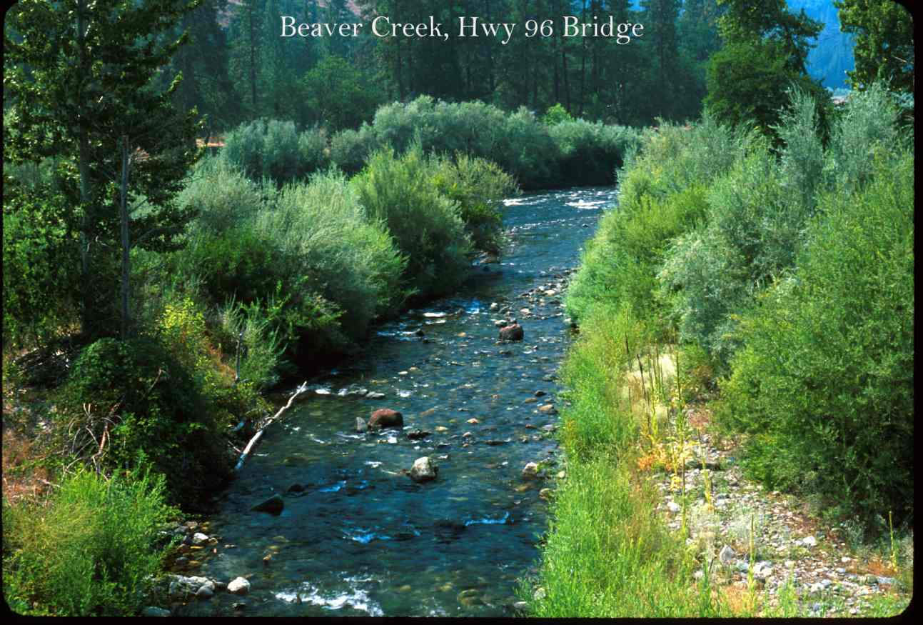 Click on image to enlarge (132K).
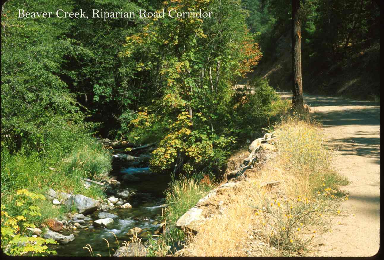 Click on image to enlarge (143K).
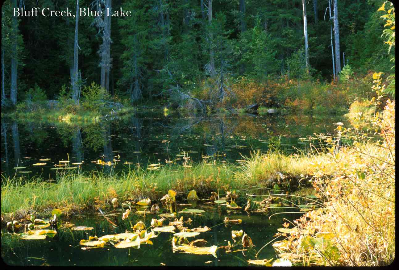 Click on image to enlarge (129K).
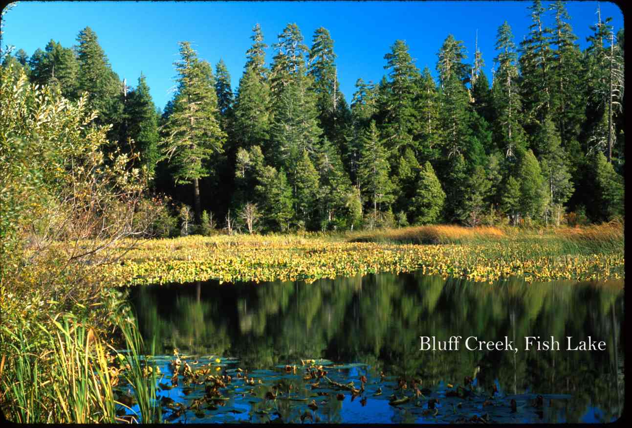 Click on image to enlarge (141K).
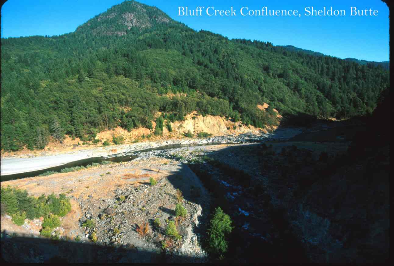 Click on image to enlarge (89K).
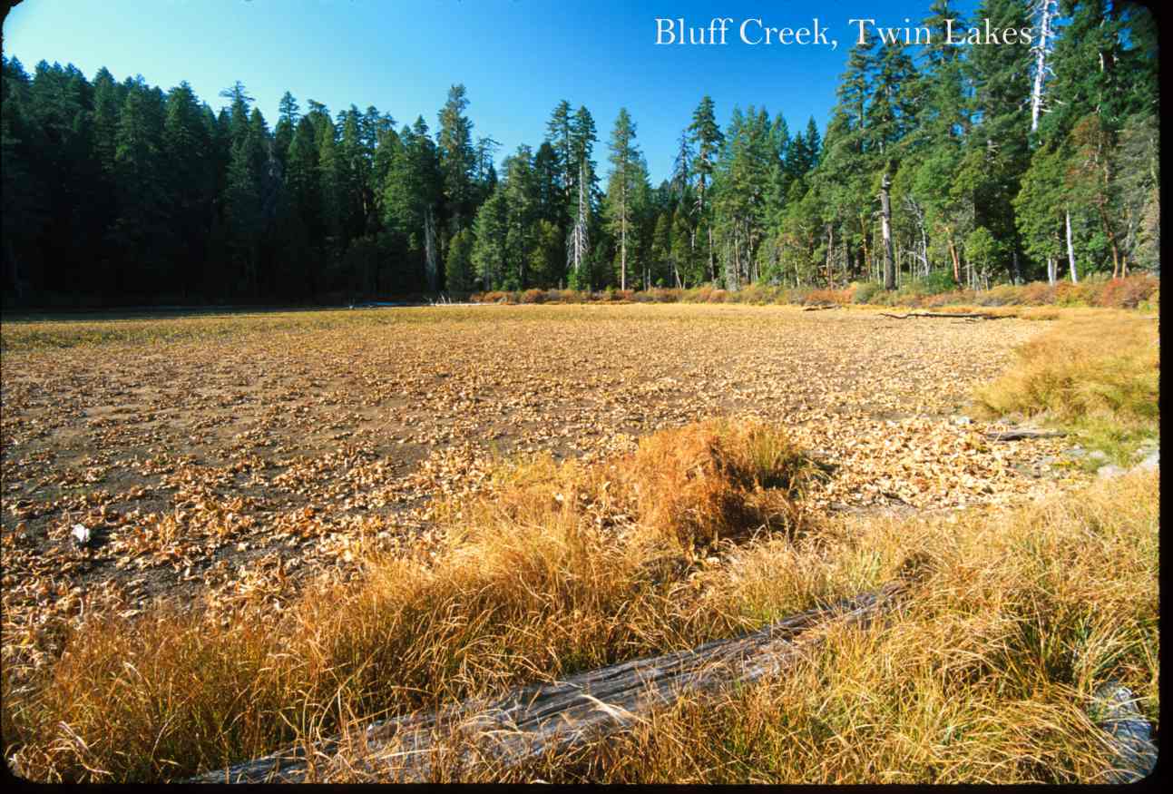 Click on image to enlarge (154K).
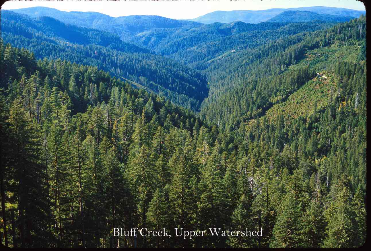 Click on image to enlarge (144K).
To learn more about this topic click Info Links
To view additional information (data source, aquisition date etc.) about this page, click Metadata
| www.krisweb.com |