
| Area | Scott River |
| Topic | Tour: 2002 Photo Points of Scott River #4 (Tributaries) |
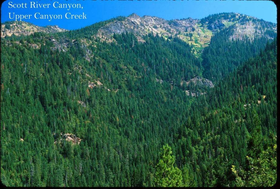
This photo shows Upper Canyon Creek, looking into the Marble Mountain Wilderness. Canyon Creek supplies cold water to the mainstem in the canyon below Jones Beach. Photo contributed by Michael Hentz. 2002.
This photo shows the Quartz Vally at Mugginsville, which is the Mill Creek and Shackleford Creek drainage. The steep canyon at right is the headwaters of Shackleford Creek in the Marble Mountain Wilderness. Photo contributed by Michael Hentz. 2002.
This photo shows Shackleford Creek looking downstream towards where it converges with the Scott River, when it has surface flow. Photo contributed by Michael Hentz. 2002.
This photo shows Kidder Creek looking upstream in Greenview off the Highway #3 Bridge. Photo contributed by Michael Hentz. 2002.
This photo shows Etna Creek looking downstream off the Highway 3 Bridge. Photo contributed by Michael Hentz. 2002.
This photo shows Mcguffy Creek, a lower the Scott River tributary, just upstream of the Scott River Road where it joins the Scott. The channel form indicates recent debris torrents, likely on January 1, 1997. Photo contributed by Michael Hentz. 2002.
This photo shows Thompkins Creek at the Scott River. Note new rip rap likely associated with FEMA flood damage projects following January 1997 storm. Photo contributed by Michael Hentz. 2002.
The young, even-aged alders in the riparian zone of Thompkins Creek indicate recent "reset" of the channel by high sediment transport and flow event related to the January 1997 storm. Note that complete shade canopy has been re-established in five years in this narrow reach. Photo contributed by Michael Hentz. 2002.
 Click on image to enlarge (129K).
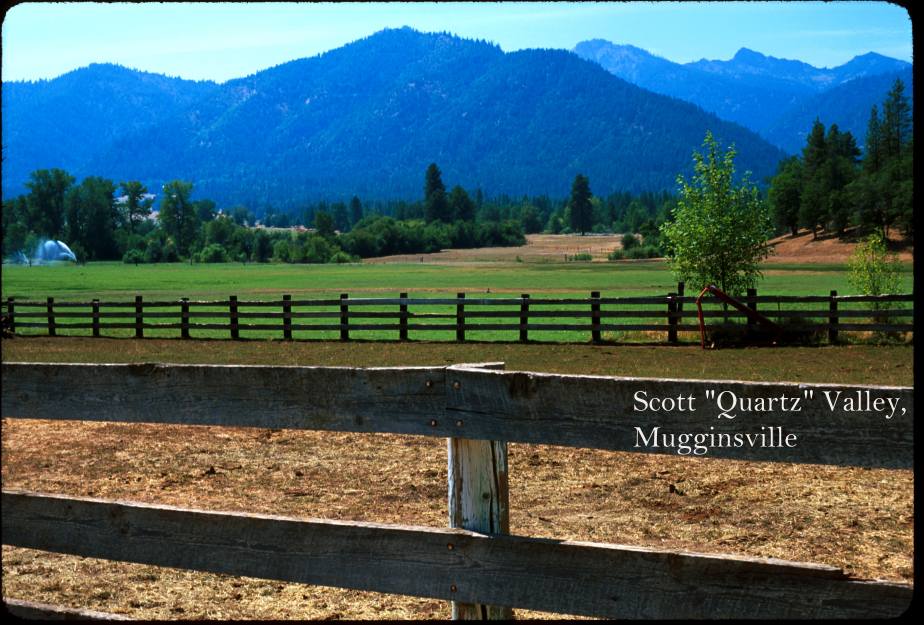 Click on image to enlarge (107K).
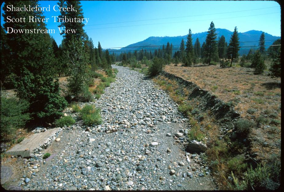 Click on image to enlarge (140K).
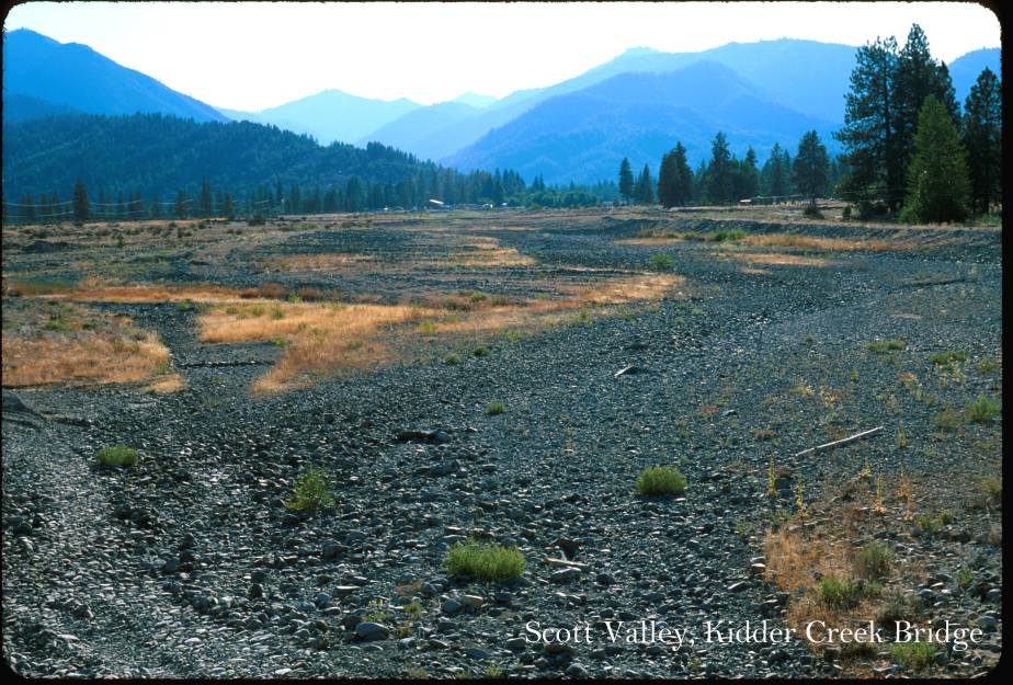 Click on image to enlarge (135K).
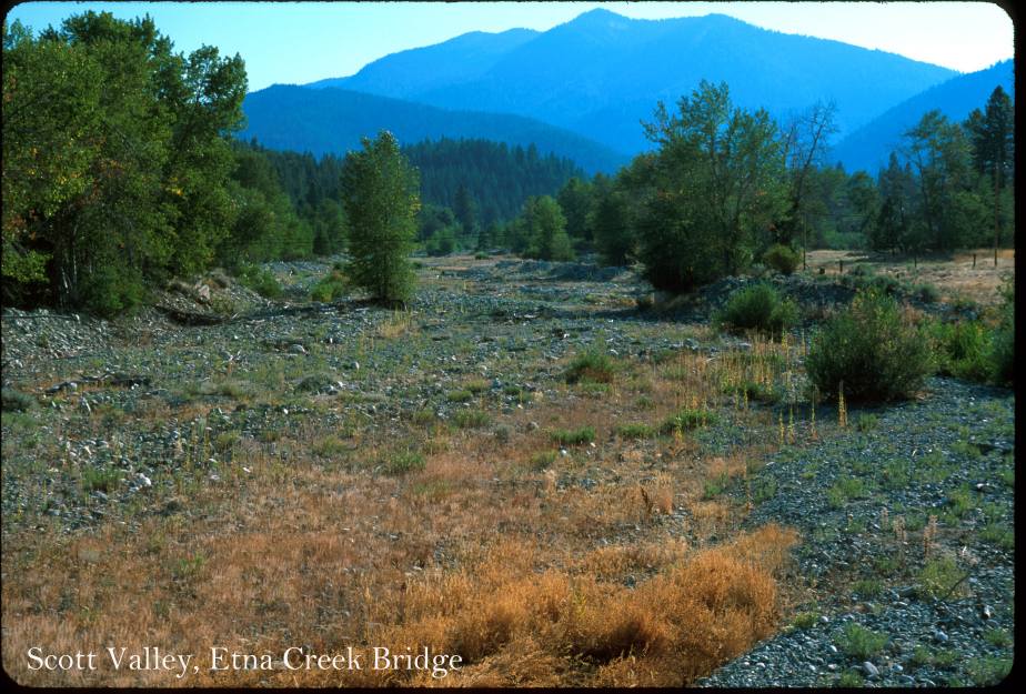 Click on image to enlarge (123K).
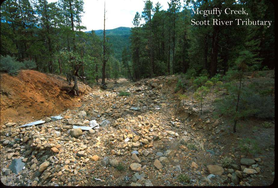 Click on image to enlarge (131K).
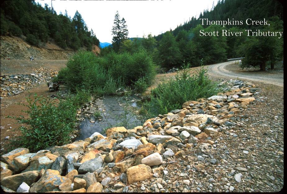 Click on image to enlarge (140K).
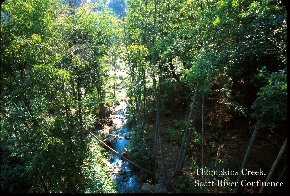 Click on image to enlarge (170K).
To learn more about this topic click Info Links
To view additional information (data source, aquisition date etc.) about this page, click Metadata
| www.krisweb.com |