
| Area | Shasta |
| Topic | Tour: 1997 High Water #2 (Downstream of Montague-Grenada Road) |
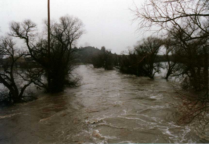
This photograph of the Shasta River at the Lemos property (at left) was taken looking downstream from the Montague/Grenada Road bridge on 1/1/97. Meamber property is at right.
The Dewey Smith Diversion is at the top of the photo and diverts water into a ditch serving a small power plant. The ditch was substantially damaged by the flood waters.
Shasta River at flood on 1/1/97 in the gorge area of the lower river at the Webb property. Photo taken from the Shasta River Road looking downstream.
This photograph depicts the Shasta River at flood on 1/1/97 looking upstream at Salmon Heaven, a restoration site on BLM land.
The Shasta River as seen looking upstream towards I-5 on 1/1/97 from the Anderson Grade Road.
 Click on image to enlarge (61K).
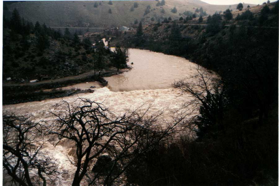 Click on image to enlarge (68K).
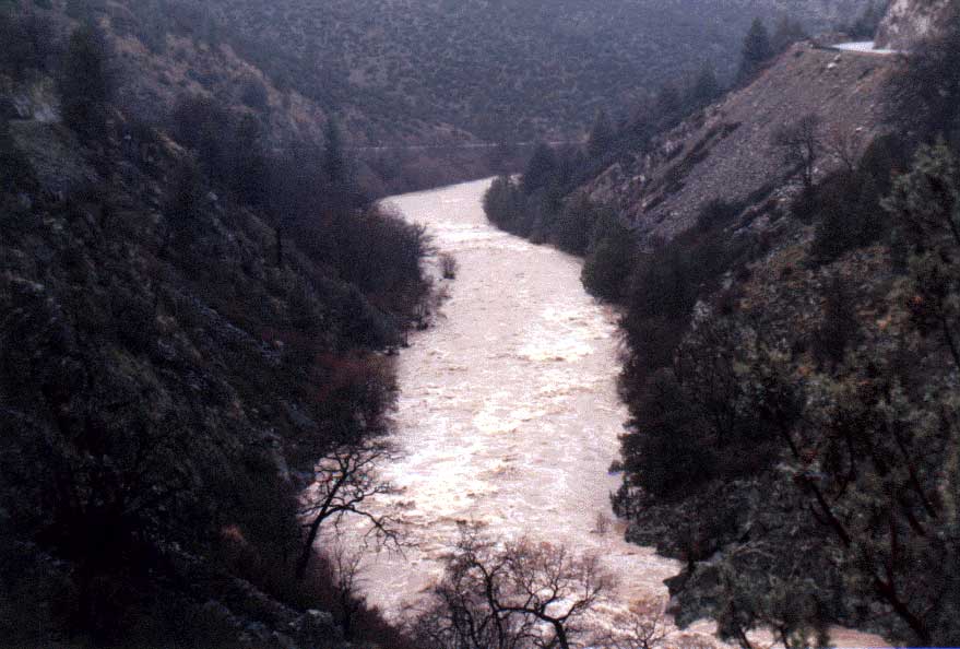 Click on image to enlarge (64K).
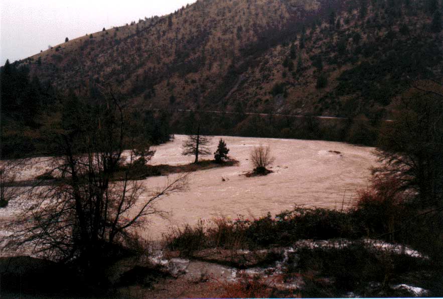 Click on image to enlarge (64K).
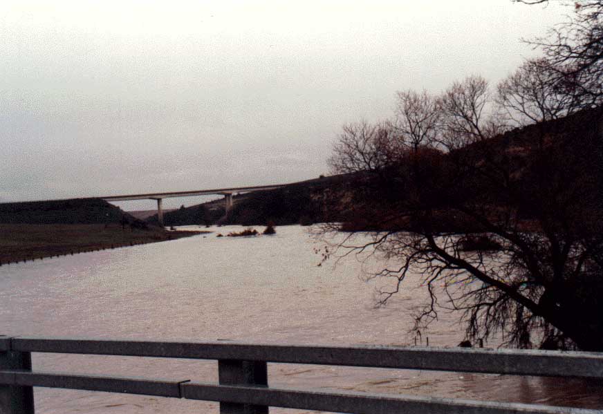 Click on image to enlarge (54K).
To learn more about this topic click Info Links
To view additional information (data source, aquisition date etc.) about this page, click Metadata
| www.krisweb.com |