
| Area | Shasta |
| Topic | Tour: Busk Ranch Riparian Alteration |
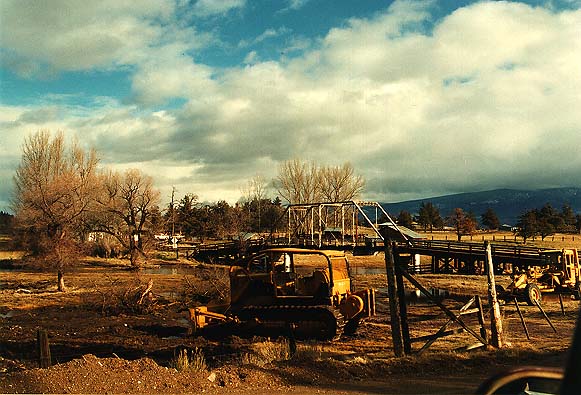
This photograph shows heavy equipment and excavation in the riparian zone of the Shasta River above Louie Road just upstream of the convergence with Big Springs Creek in January 1995. The site was originally disturbed in fall 1994.
Riparian trees were cleared and wetlands adjacent to the Shasta River above Louie Road were filled in fall 1994 and this photo shows the site after high water in January 1995.
The filled area at left is the old flood terrace of the Shasta River, which was excavated and filled in fall 1994. This photo was taken in spring of 1995 after high water had caused the river to spread back into the excavated area resulting in erosion.
Aerial photograph of the Shasta River just above Louie Road in January 1995 after high water had caused the river to re-occupy the excavated flood plain. The river washed away most of the fill material placed there, significantly impacting spawning gravel downsteam..
The Shasta River at Louie Road spreading into wetlands and riparian zone during high flows associated with storms in March 1995. Note recent fill material in the foreground.
This photo shows wetlands and the riparian area of the Shasta River upstream of Louie Road after filling and excavation in Fall 1994. High flows in January and March 1995 subsequently caused the river to flow over areas filled during the previous fall mobilizing fine sediment.
 Click on image to enlarge (67K).
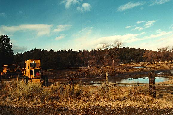 Click on image to enlarge (63K).
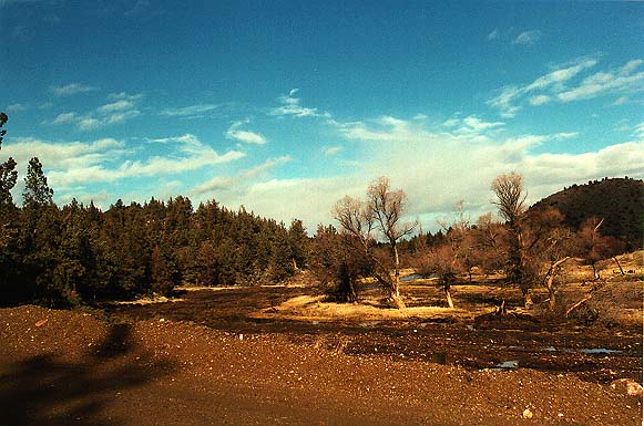 Click on image to enlarge (64K).
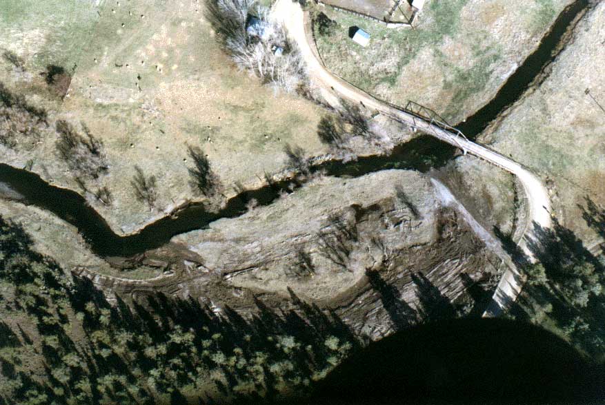 Click on image to enlarge (91K).
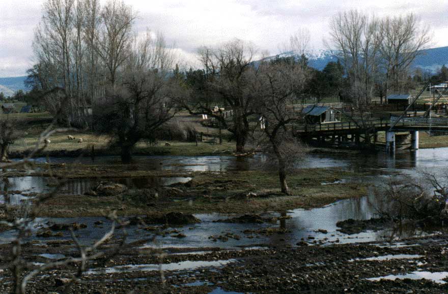 Click on image to enlarge (77K).
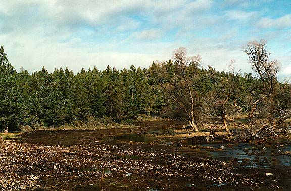 Click on image to enlarge (83K).
To learn more about this topic click Info Links
To view additional information (data source, aquisition date etc.) about this page, click Metadata
| www.krisweb.com |