
| Area | Shasta |
| Topic | Tour: Restoration Meamber Ranch #2 |
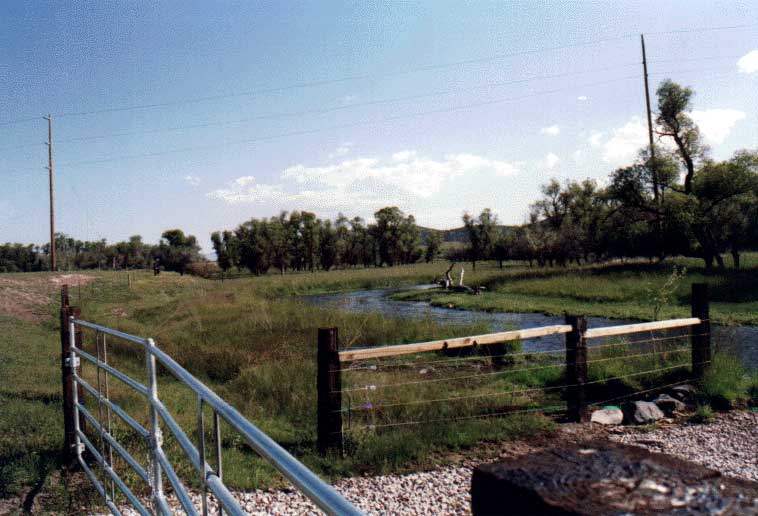
Upstream watering access on the Don Meamber Ranch about 1/4 mile above the Montague Grenada Road Bridge. An alternate watering site and cattle crossing site on the Shasta River.
Dense tule and cattail growth along the Shasta River immediately upstream of the Montague Grenada Road on the Meamber property. Spring 1994.
Looking north at the exclusion zone on the Meamber Ranch with Montague Grenada Road barely visible in the background. Note healthy growth of grasses, sedges and trees.
High water in the Shasta River in spring 1998 looking downstream at the Montague Grenada Road bridge. Meamber property at right and Lemos at left.
This photo shows the DWR watermaster's weir in 1993 immediately following the first pulsed flow, with debris awaiting removal from the weir. The watermaster has used this site since about 1934 to gage water available water for irrigation uses in the Shasta. It is located immediately upstream of the Montague-Grenada Road bridge. The present concrete weir was built about 1981.This photo also shows the Shasta CRMP water quality monitoring gauge that measures flow, water temperature, dissolved oxygen and conductivity. Results are available live via an electronic voice over the phone.
This photo of the Shasta River was taken from the Montague/Grenada Road Bridge looking upstream during the January 1, 1997 high water event. The white box at the lower center of the photo is the Shasta CRMP flow and water quality gauge. The narrowing of the flood plain at the bridge increases the erosive force of the river at this point.
Meamber property upstream of the Montegue Grenada Road with new cattle exclusion fence in 1993. See Picture #8 to see a close up of the riparian zone in 1997.
The photo shows a close up of the same area shown in Picture #7. The center of this photo shows the area at far right in the previous one. Cattails have extensively colonized the bank near the trees in the center-left of this photo.
 Click on image to enlarge (54K).
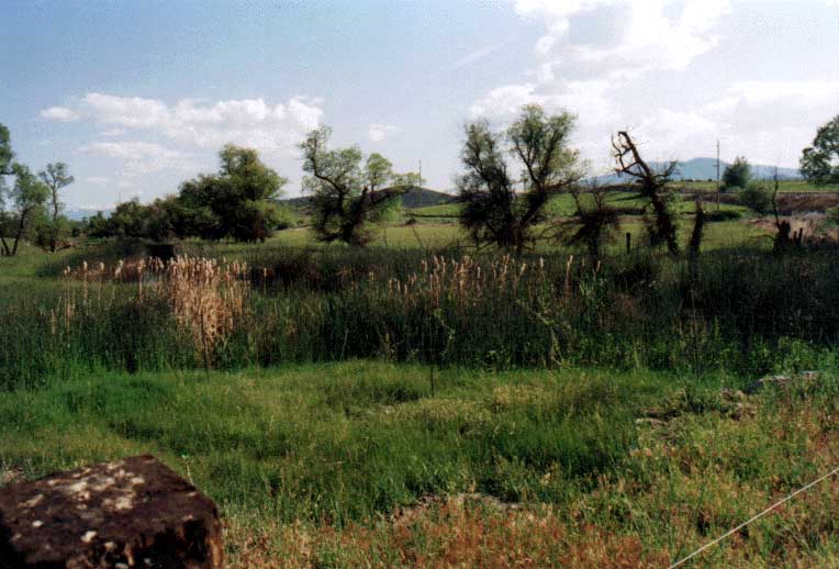 Click on image to enlarge (56K).
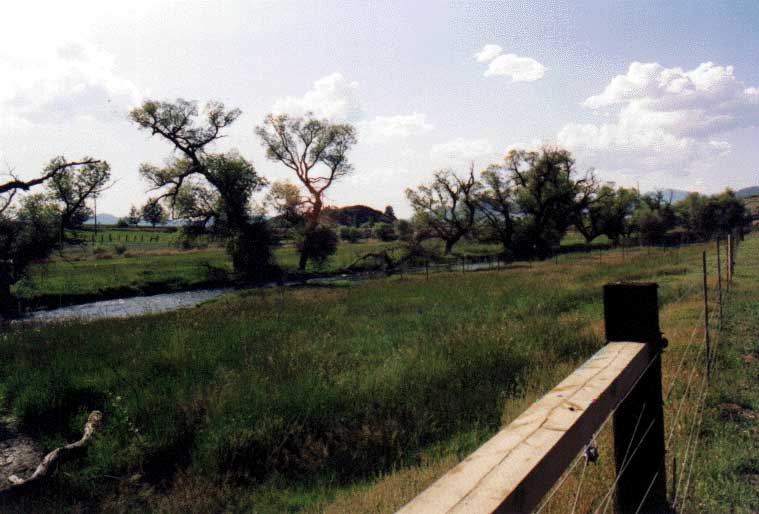 Click on image to enlarge (48K).
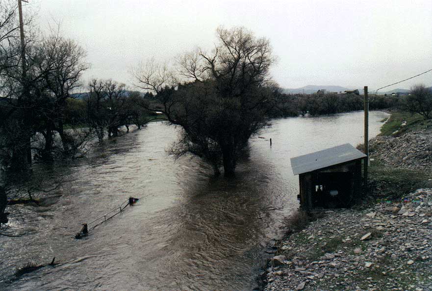 Click on image to enlarge (85K).
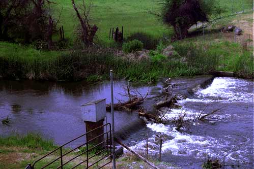 Click on image to enlarge (29K).
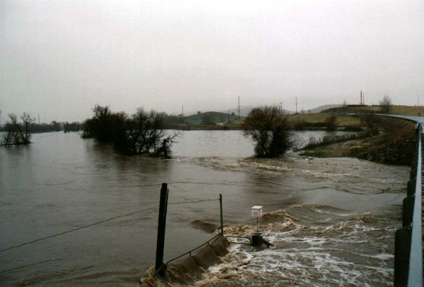 Click on image to enlarge (45K).
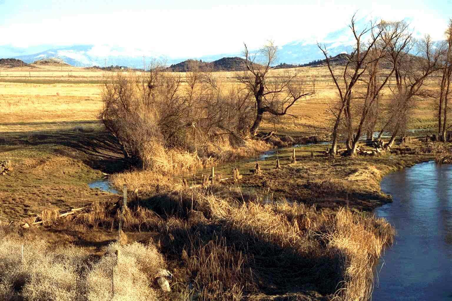 Click on image to enlarge (189K).
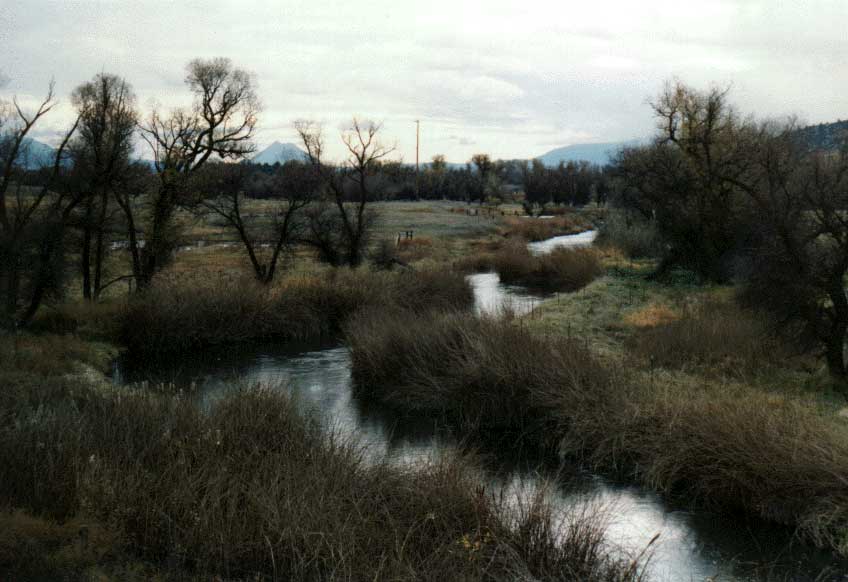 Click on image to enlarge (51K).
To learn more about this topic click Info Links
To view additional information (data source, aquisition date etc.) about this page, click Metadata
| www.krisweb.com |