| Area |
Basin-wide/Regional |
| Topic |
Mattole Basin Location Maps |
 Click on image to enlarge (58K).
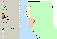
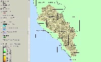
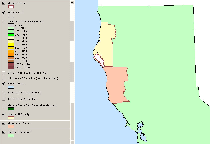
This map view shows the relationship of the Mattole River basin to Humboldt County, Mendocino County and the State of California. The Mattole Hydrologic Unit is outlined in black, and includes the adjacent Bear River to the north and coastal tributaries to the west. San Francisco Bay is at the bottom of the image. Image taken from the KRIS Mattole Map project.
 Click on image to enlarge (62K). Click here to display a larger version (255K).
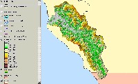
This map view of color, shaded relief reveals how the Mattole basin is bordered by the high King Range to the southwest and Rainbow Ridge to the northeast. The southern part of the Mattole basin has a gentler topography and is very close to the Pacific Ocean. Image from KRIS Mattole Map Project.
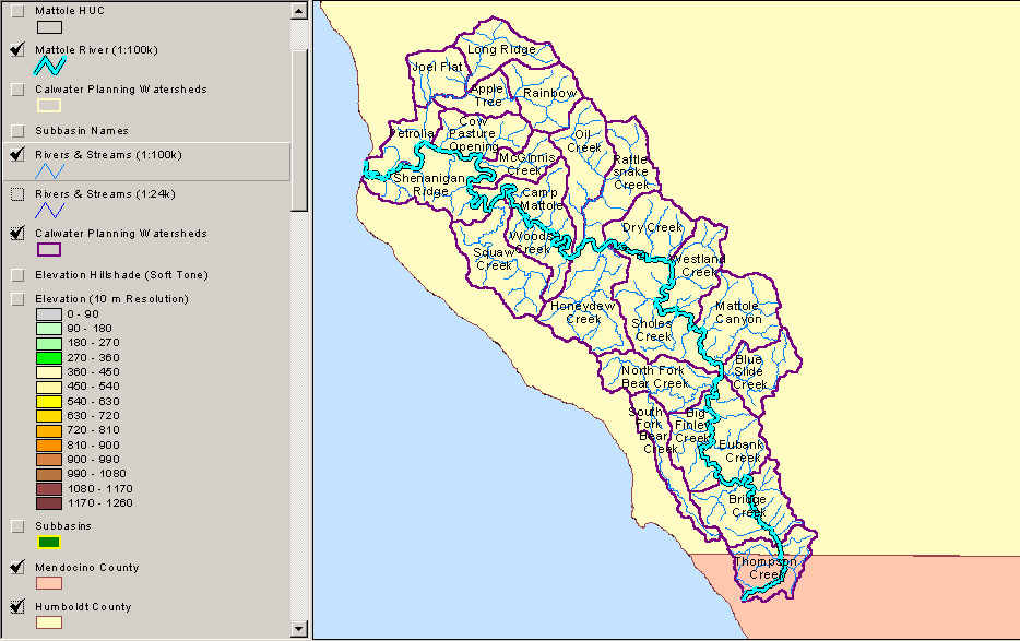
 Click on image to enlarge (72K). Click here to display a larger version (274K).
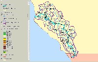
This map view shows the 25 Calwater planning watersheds in the Mattole basin with respect to the mainstem Mattole River and Humboldt and Mendocino Counties. Ten of the Calwater units have long boundaries along the Mattole River. Image from KRIS Mattole Map Project.
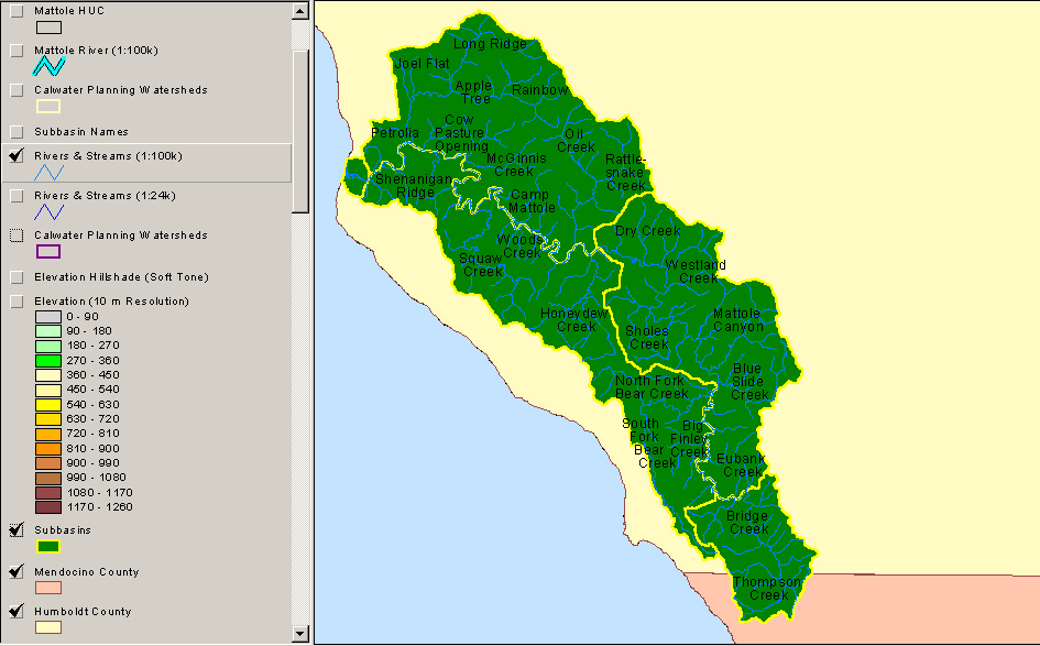
 Click on image to enlarge (55K). Click here to display a larger version (250K).
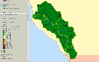
This map view shows the five subbasins of the Mattole used in KRIS and NCWAP. Calwater planning unit names and major streams are shown. Image from KRIS Mattole Map Project.
 Click on image to enlarge (115K).
This map view shows the USGS Quadrangle index and names for the Mattole basin area. Image from KRIS Mattole Map Project.
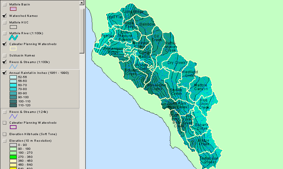
 Click on image to enlarge (68K). Click here to display a larger version (294K).
This map view shows the annual rainfall isopleths for the Mattole basin. Calwater planning unit names and boundaries are also shown. The Image from KRIS Mattole Map Project.
To learn more about this topic click Info Links

 Click on image to enlarge (58K).
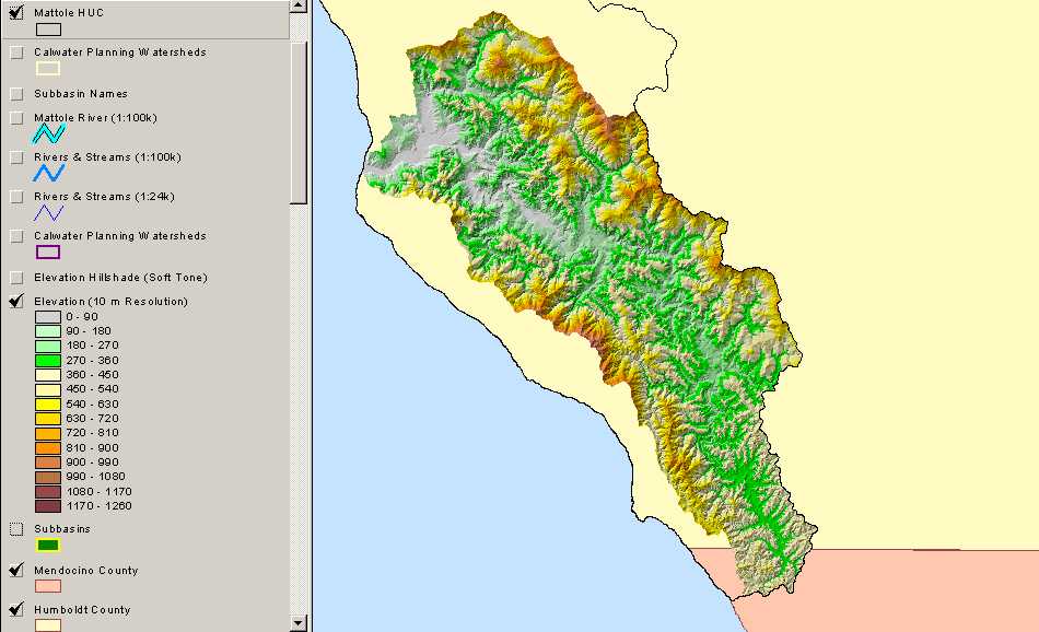 Click on image to enlarge (62K). Click here to display a larger version (255K).
 Click on image to enlarge (72K). Click here to display a larger version (274K).
 Click on image to enlarge (55K). Click here to display a larger version (250K).
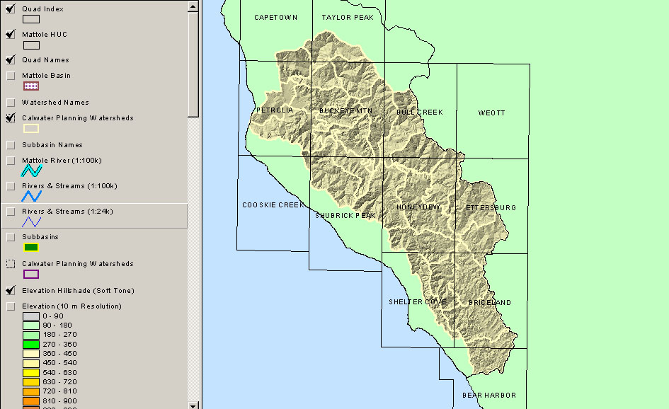 Click on image to enlarge (115K).
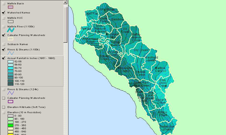 Click on image to enlarge (68K). Click here to display a larger version (294K).
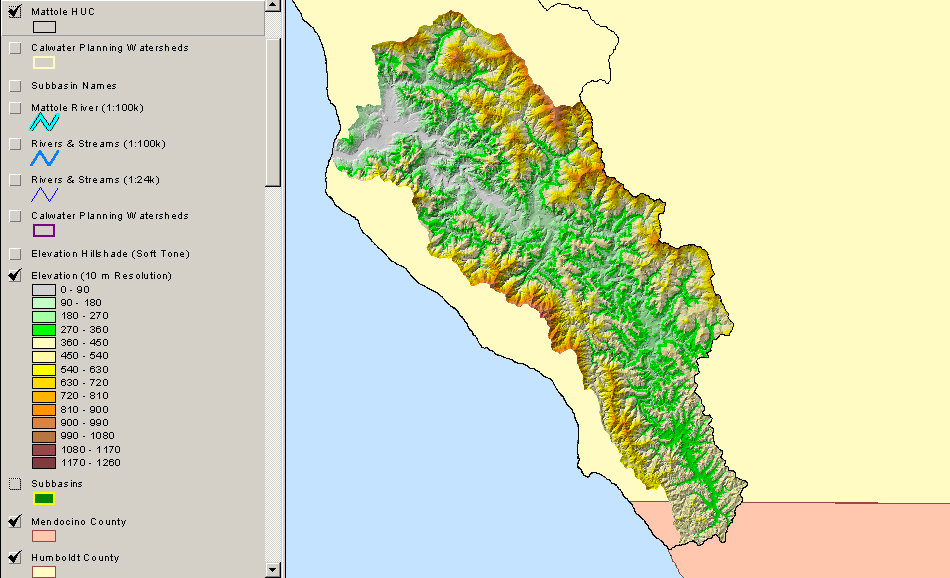