Bibliography Background About KRIS
 Select
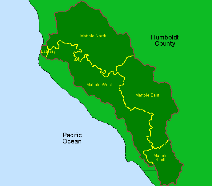
KRIS topics by area or topic category to
access charts, images, and data tables.
Select
KRIS topics by area or topic category to
access charts, images, and data tables.
Bibliographic Resources concerning the Mattole River.
The KRIS Mattole project was funded by the California Department of Forestry and Fire Protection (CDF) and the National Fish and Wildlife Foundation.
This KRIS version, which was built to support the North Coast Watershed Assessment Program, provides agencies, private land owners and citizens with data relevant to fisheries and water quality in a useful form for adaptive management.
KRIS Mattole Sponsors and Cooperators
Conclusions and data presented in KRIS Mattole do not necessarily represent the endorsement of NCWAP State agencies, including the California Geological Survey and the California Department of Fish and Game.