| Area |
Basin-wide/Regional |
| Topic |
Mattole Basin Climate and Land Cover Maps |
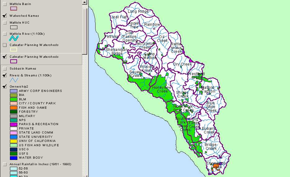
 Click on image to enlarge (74K). Click here to display a larger version (279K).
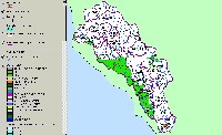
This map view shows patterns and extent of land ownership in the Mattole River watershed. Legend is at left. Image taken from the KRIS Mattole Map project.
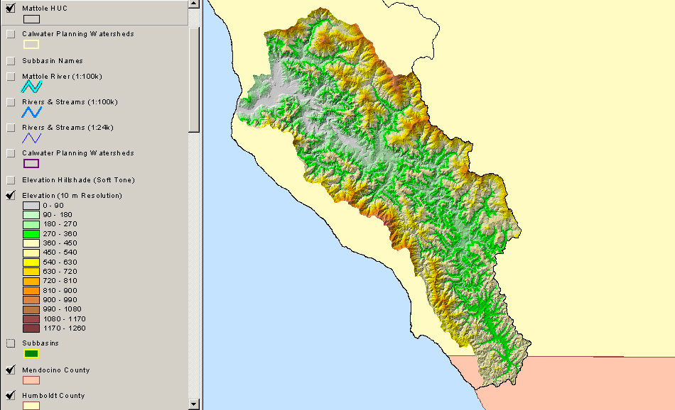
 Click on image to enlarge (62K). Click here to display a larger version (255K).
This map view shows topography in the Mattole River watershed. Legend is at left. Image taken from the KRIS Mattole Map project
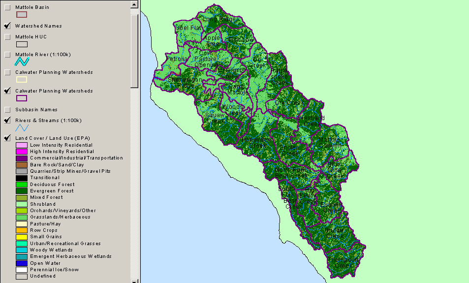
 Click on image to enlarge (74K). Click here to display a larger version (304K).
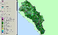
This map view shows land cover classifications by the EPA for the Mattole River watershed. Legend is at left. Image taken from the KRIS Mattole Map project
 Click on image to enlarge (79K). Click here to display a larger version (330K).
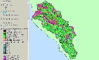
This map view shows tree stand size classifications by the USFS from 1994 spatial imagery for the Mattole River watershed. Legend is at left. Image taken from the KRIS Mattole Map project
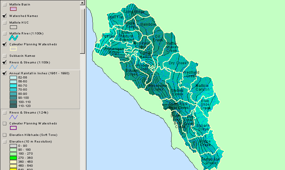
 Click on image to enlarge (68K). Click here to display a larger version (294K).
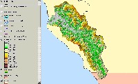
This map view shows model outputs for average annual rainfall in the Mattole River watershed. Legend is at left. Image taken from the KRIS Mattole Map project.
To learn more about this topic click Info Links

 Click on image to enlarge (74K). Click here to display a larger version (279K).
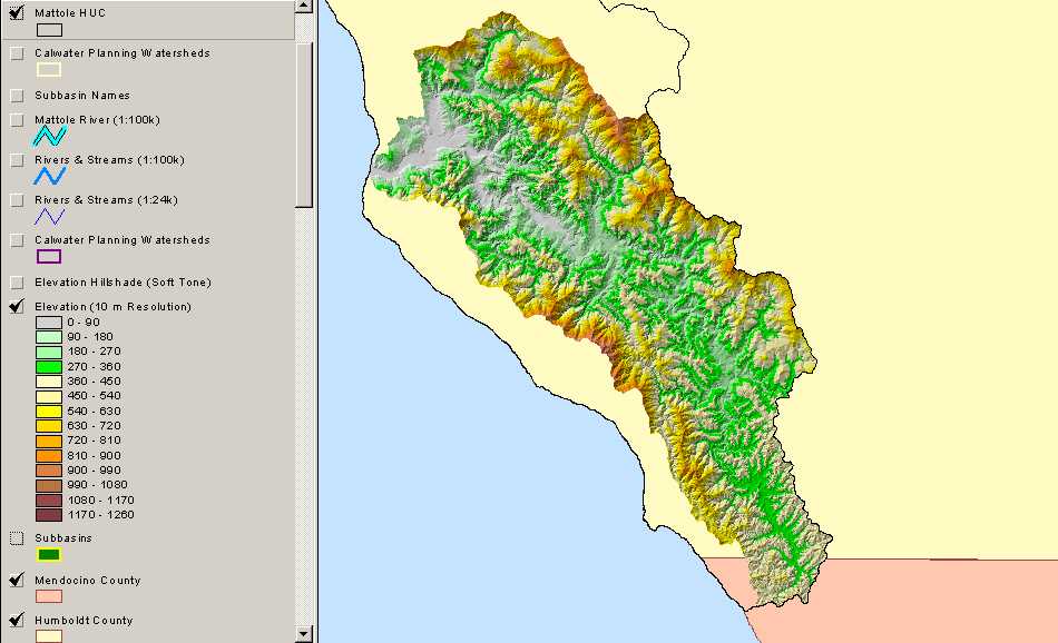 Click on image to enlarge (62K). Click here to display a larger version (255K).
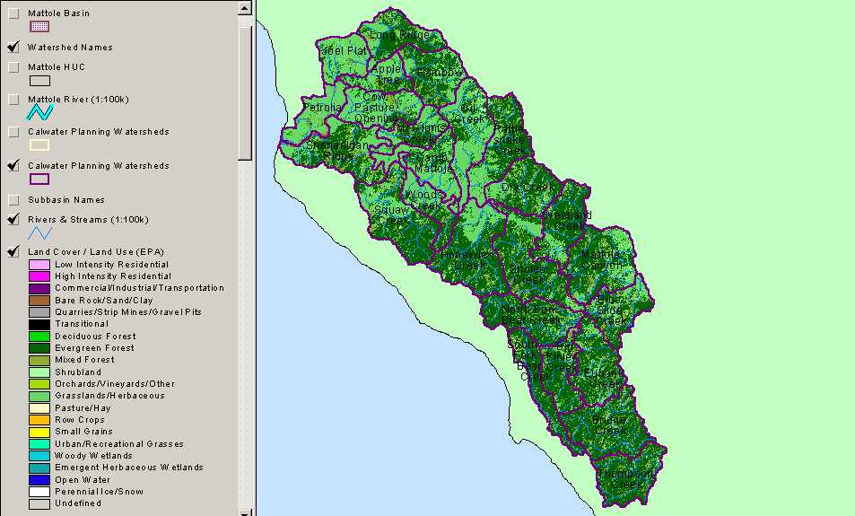 Click on image to enlarge (74K). Click here to display a larger version (304K).
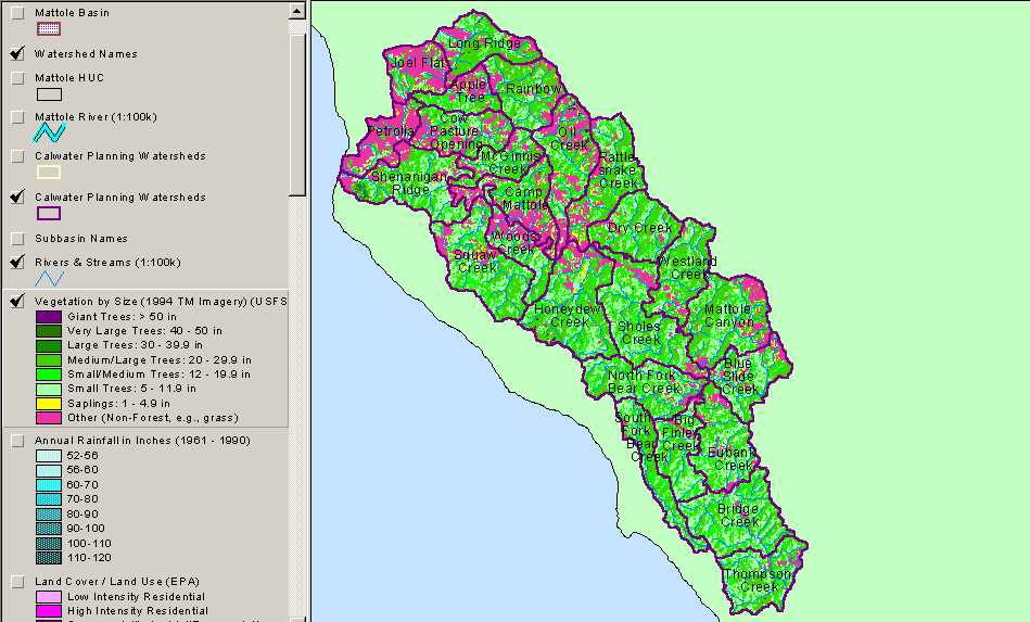 Click on image to enlarge (79K). Click here to display a larger version (330K).
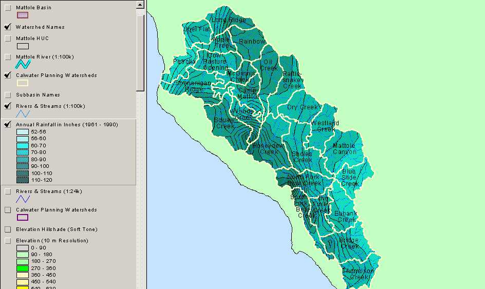 Click on image to enlarge (68K). Click here to display a larger version (294K).
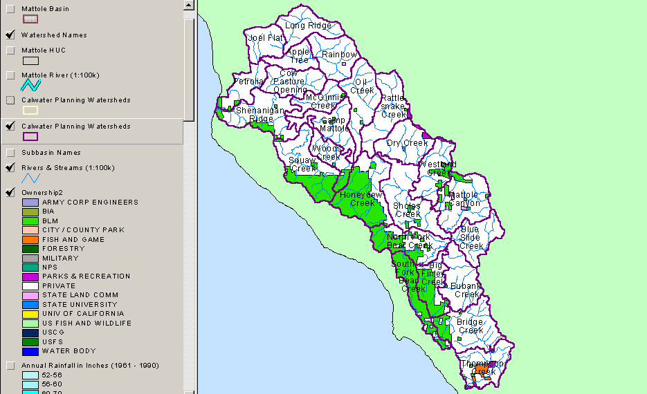