
| Area | Basin-wide/Regional |
| Topic | Timber Harvest: Percent Area Harvested by Subbasin, 1983-2001 |
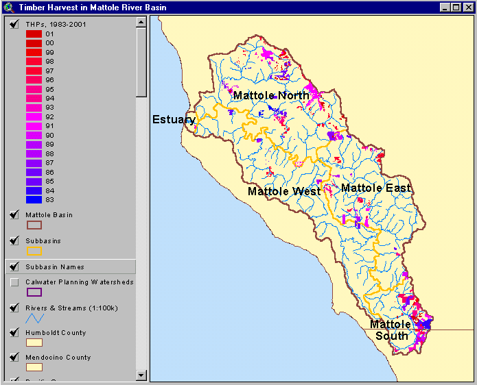
The image above shows the Timber Harvest Plans approved (but not necessarily implemented) between 1983 and 2001 in the Mattole River Basin. Use the "Pan" and "Zoom" buttons above with your mouse to navigate around this image. This image was captured from the KRIS Mattole Map project.
 Click on image to enlarge (32K).
To learn more about this topic click Info Links
| www.krisweb.com |