| Area |
Basin-wide/Regional |
| Topic |
Tour: Aerial Photos 1941 and 1942 |
 Click on image to enlarge (132K). Click here to display a larger version (898K).
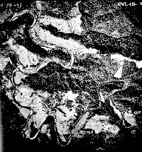
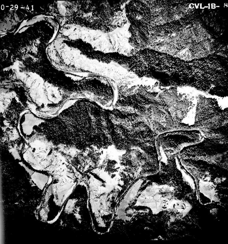
The aerial photograph above is of the Mattole River between Petrolia and Honeydew and was taken on October 29, 1941. Compared to the river channel after the 1955 and 1964 floods, the channel in this photo is narrow and closely lined with riparian vegetation.
 Click on image to enlarge (131K). Click here to display a larger version (919K).
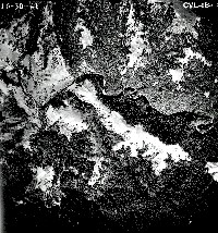
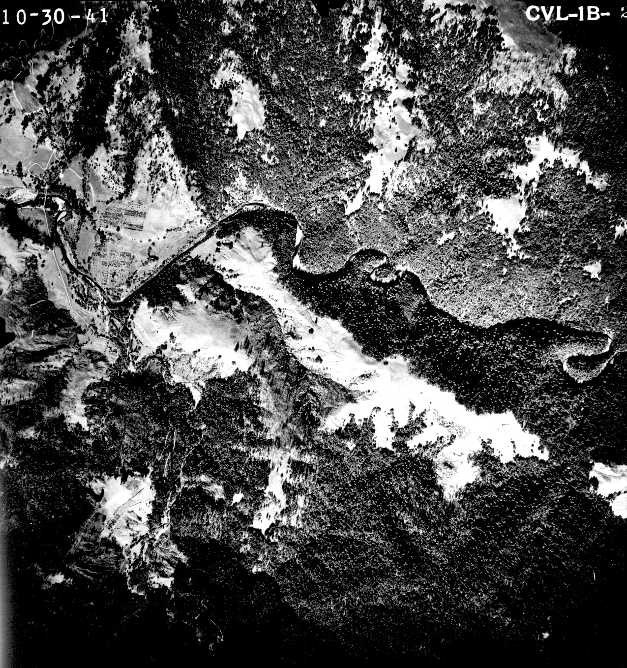
This October 1941 aerial photo shows the Mattole River at the town of Honeydew. Note that there is no delta at the mouth of Honeydew Creek.
 Click on image to enlarge (114K). Click here to display a larger version (828K).
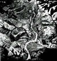
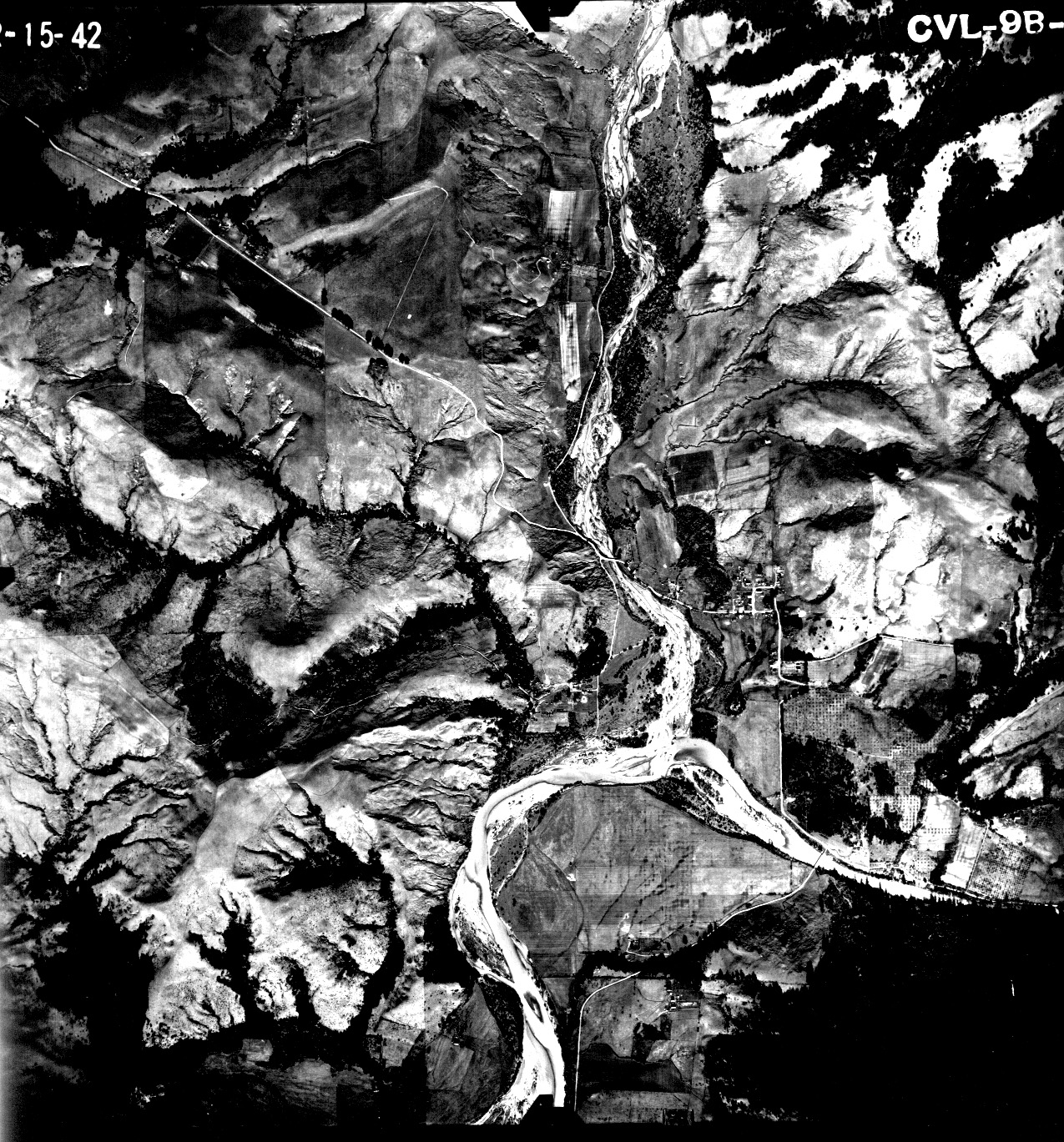
This aerial photograph of the Mattole River at its convergence with the North Fork was taken in February 1942. The North Fork River channel as it joined the Mattole was much less wide than in subsequent photos after the 1955 and 1964 floods.
 Click on image to enlarge (78K). Click here to display a larger version (694K).
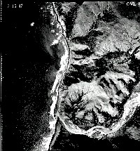
The aerial photograph above shows the mouth of the Mattole River in February 1942.
To learn more about this topic click Info Links

 Click on image to enlarge (132K). Click here to display a larger version (898K).
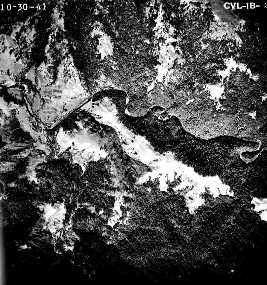 Click on image to enlarge (131K). Click here to display a larger version (919K).
 Click on image to enlarge (114K). Click here to display a larger version (828K).
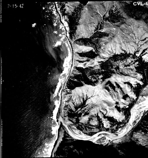 Click on image to enlarge (78K). Click here to display a larger version (694K).