| Area |
Basin-wide/Regional |
| Topic |
Tour: Aerial Photos 1984 |
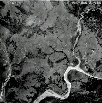 Click on image to enlarge (83K). Click here to display a larger version (865K).
This aerial photograph was taken on May 6, 1984 and shows the mouth of the North Fork and mainstem Mattole River and the town of Petrolia.
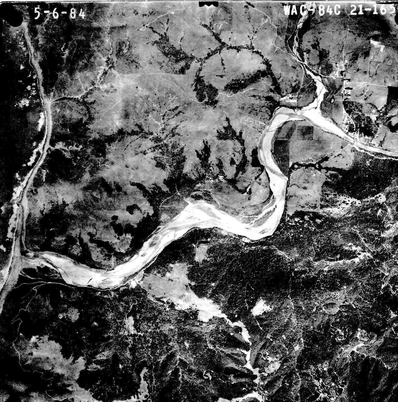
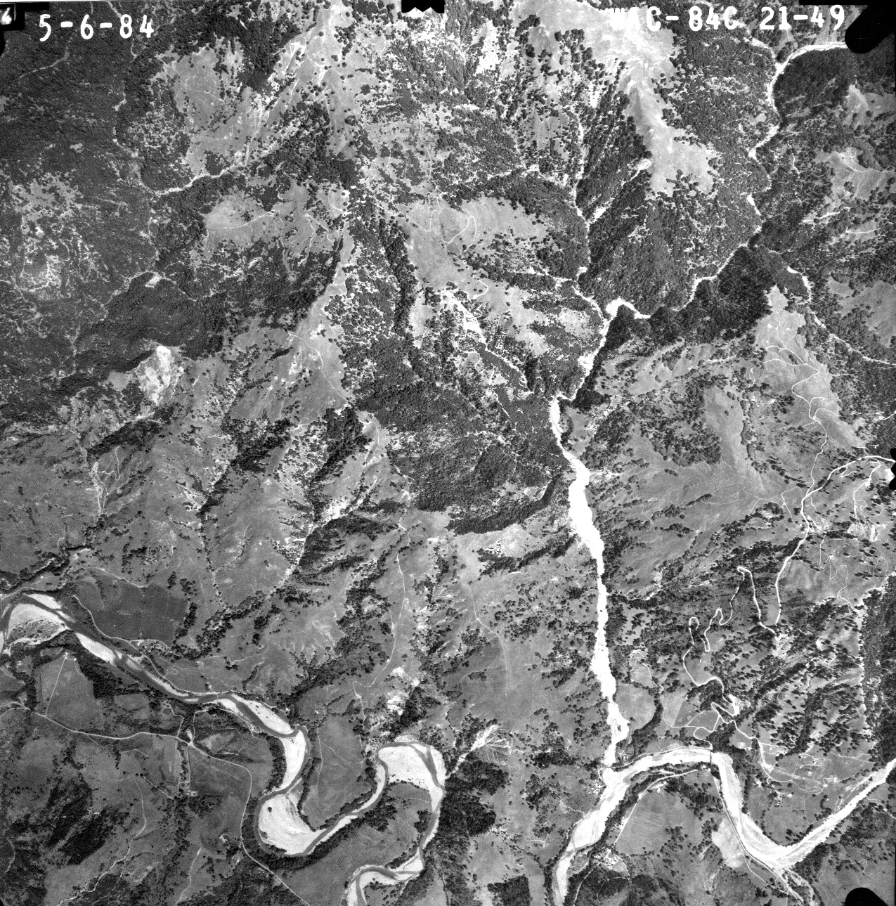
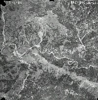 Click on image to enlarge (97K). Click here to display a larger version (957K).
This aerial photo of the Mattole River at Honeydew shows dramatic differences from the 1941 aerial. The river bar is much wider and broad flood plains are evident on tributary channels. Some alders were established at the mouth of Honeydew Creek signifying early recovery from the 1964 flood.
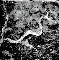 Click on image to enlarge (121K). Click here to display a larger version (1,127K).
This aerial photograph of the mouth of the Mattole River was taken on May 6, 1984 and shows that the lower Mattole River is highly aggraded.
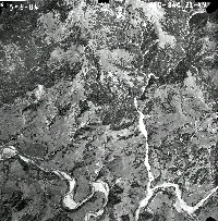 Click on image to enlarge (110K). Click here to display a larger version (1,008K).
This May 1984 aerial photograph of the Mattole River just upstream of Petrolia shows a very wide flood plane.
To learn more about this topic click Info Links

 Click on image to enlarge (83K). Click here to display a larger version (865K).
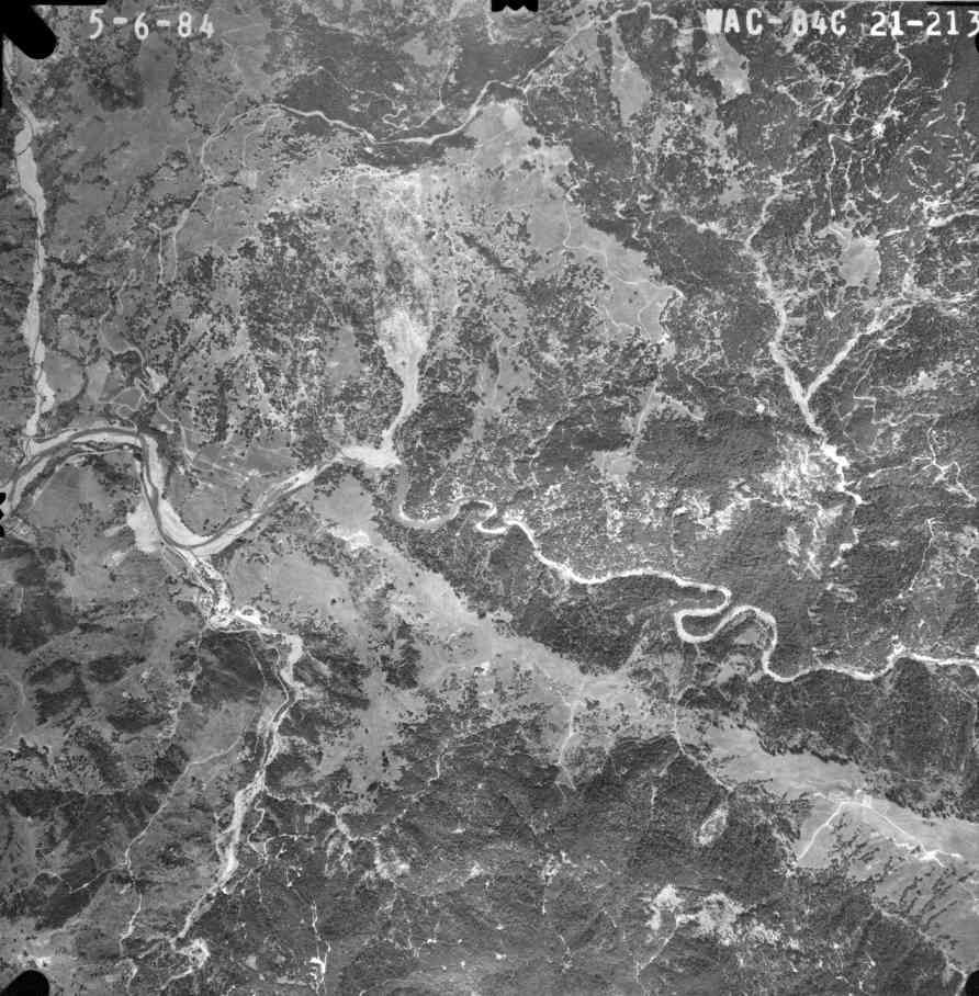 Click on image to enlarge (97K). Click here to display a larger version (957K).
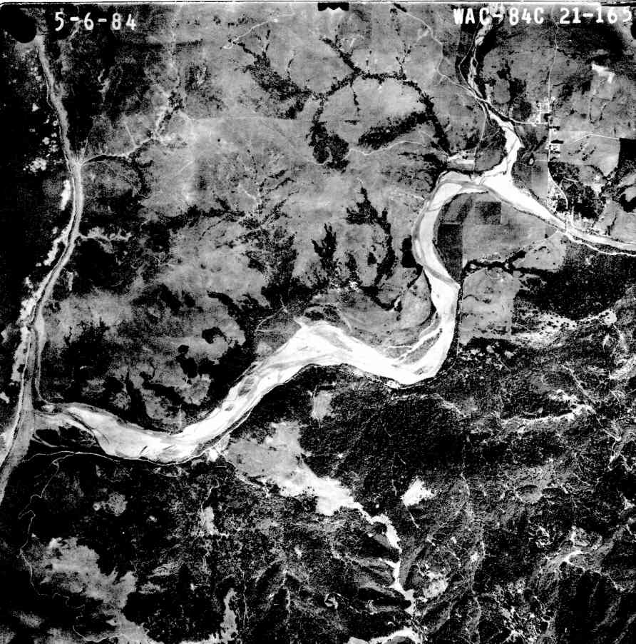 Click on image to enlarge (121K). Click here to display a larger version (1,127K).
 Click on image to enlarge (110K). Click here to display a larger version (1,008K).
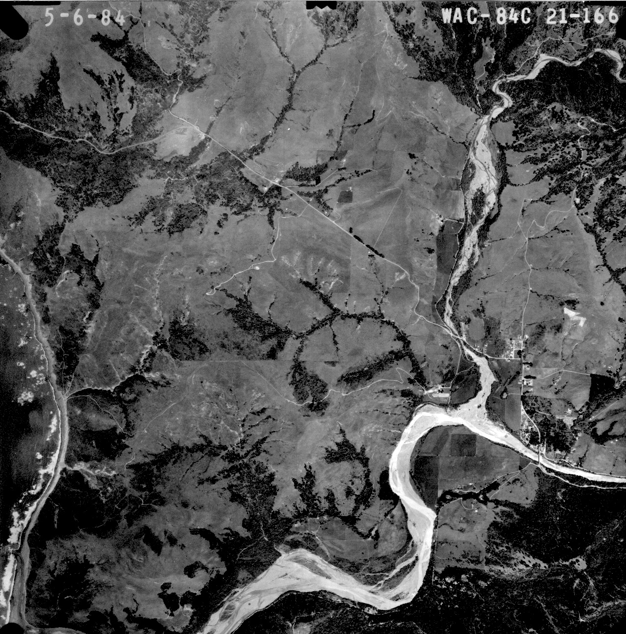