
| Area | Basin-wide/Regional |
| Topic | Tour: Aerial Photos Lower Mattole |
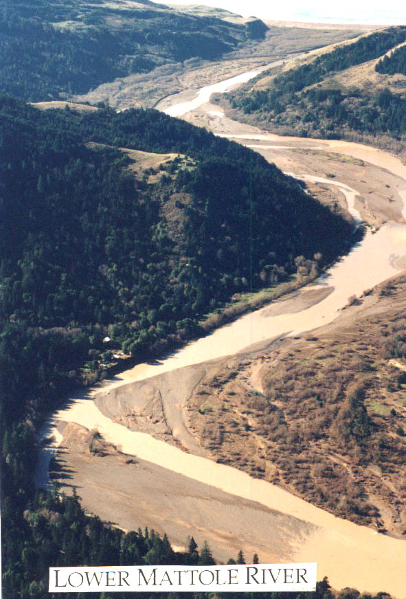
This aerial photograph of the lower Mattole River in 1997 shows wide, silt covered terraces reflecting the extremely high sediment supply in the watershed. Note that the home adjacent to the Mattole River in the photo has increased flood risk as a result of channel aggradation. Photo provided by the Mattole Restoration Council.
The North Fork Mattole and mainstem Mattole at Petrolia both exhibit signs of an over-supply of sediment: widened channels and high turbidity. Photo provided by the Mattole Restoration Council. Taken in Spring 1997.
This aerial photo shows the Mattole River at Miner Flat. Photo by Thomas Dunklin.
 Click on image to enlarge (143K).
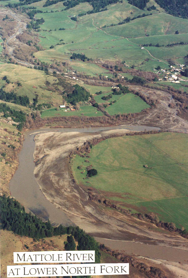 Click on image to enlarge (150K).
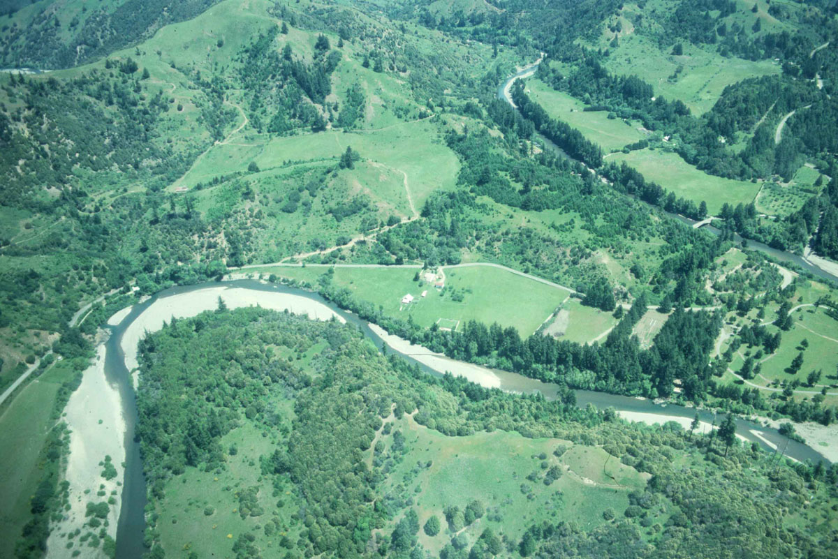 Click on image to enlarge (312K).
To learn more about this topic click Info Links
| www.krisweb.com |