| Area |
Basin-wide/Regional |
| Topic |
Tour: Aerial Photos Upper North Fork |
 Click on image to enlarge (71K). Click here to display a larger version (157K).
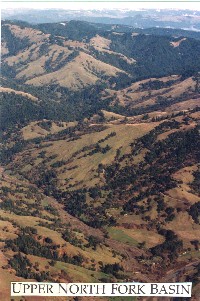
This aerial photograph shows the Upper North Fork Mattole watershed which has a mosaic of forests and grasslands. Note that the Upper North Fork in the lower portion of the photo has been widened as a result of debris torrents. This stream is a major source of sediment to the main Mattole River and often increases turbidity in the main river.
 Click on image to enlarge (110K). Click here to display a larger version (201K).
This aerial photograph taken in 1997 shows the track of a debris torrent in the Upper North Fork at its convergence with the main Mattole River. Photo provided by the Mattole Restoration Council.
To learn more about this topic click Info Links

 Click on image to enlarge (71K). Click here to display a larger version (157K).
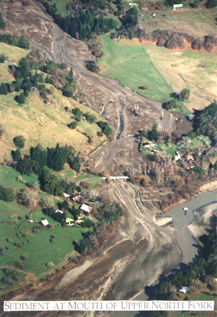 Click on image to enlarge (110K). Click here to display a larger version (201K).
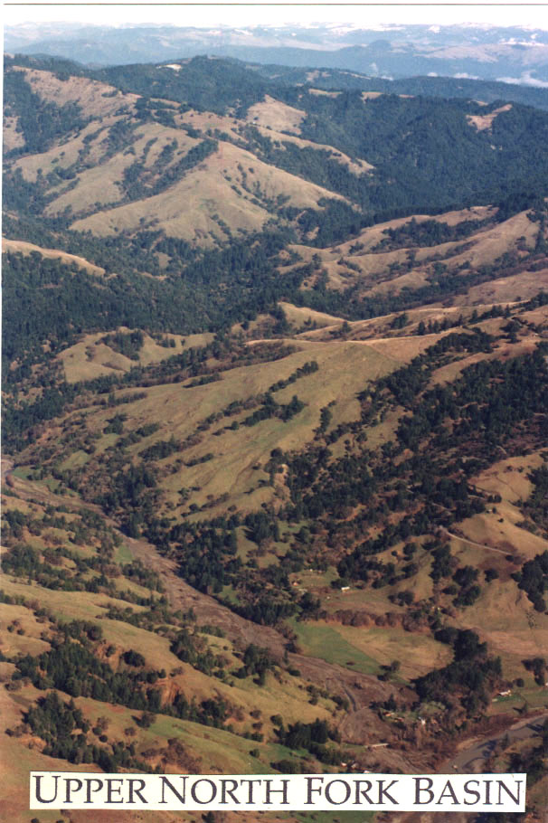