| Area |
Basin-wide/Regional |
| Topic |
Tour: General Landscape |
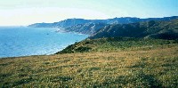 Click on image to enlarge (55K).
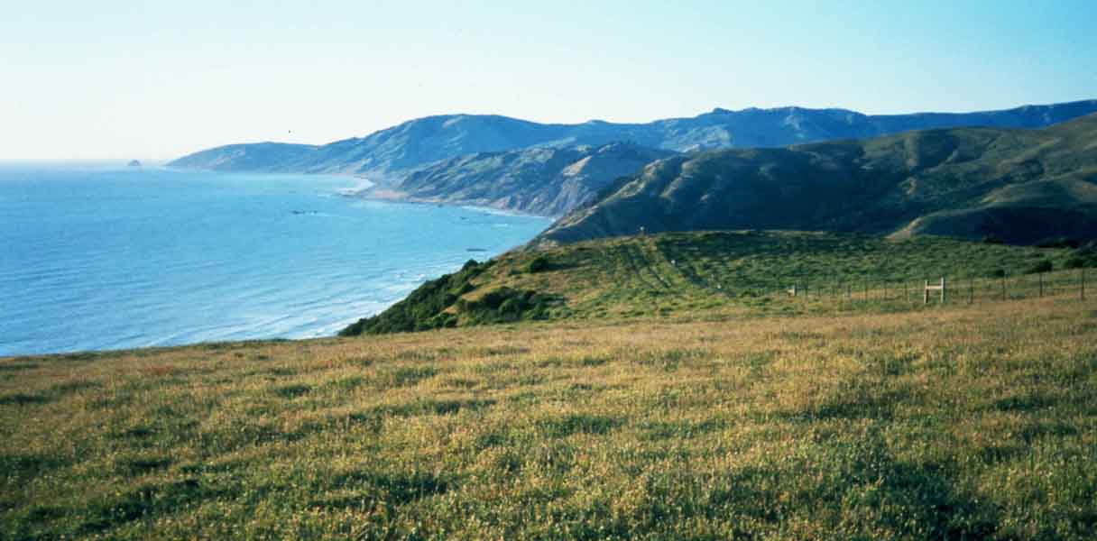
This photo, taken from grasslands on the Mattole watershed divide, shows the Pacific coast from north of the Mattole to Cape Mendocino. Photo by Thomas Dunklin.
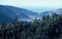 Click on image to enlarge (107K).
This photo shows lower Mattole River floodplain and adjacent hill slopes. Photo by Thomas Dunklin.
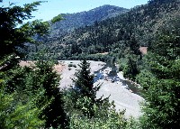 Click on image to enlarge (151K). Click here to display a larger version (382K).
This photo a lower reach of the Mattole River. Photo by Thomas Dunklin.
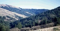 Click on image to enlarge (54K).
This photo shows forested and grassland slopes near the North Fork of the Mattole River. Photo by Thomas Dunklin.
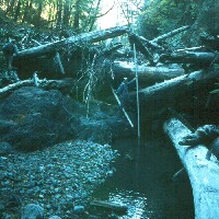 Click on image to enlarge (123K).
This photo shows Freeman House measuring a large wood accumulation in a tributary (Mill Creek?) of the Mattole River. Photo by Thomas Dunklin.
To learn more about this topic click Info Links

 Click on image to enlarge (55K).
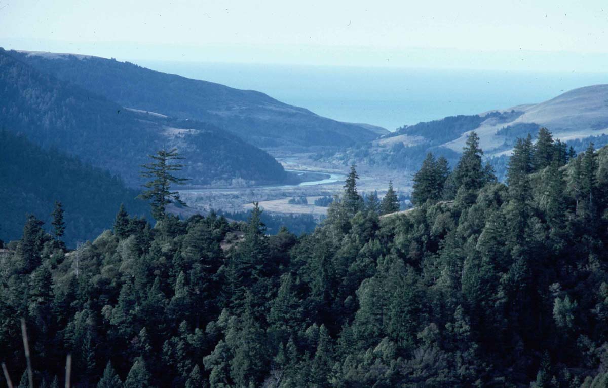 Click on image to enlarge (107K).
 Click on image to enlarge (151K). Click here to display a larger version (382K).
 Click on image to enlarge (54K).
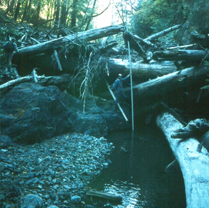 Click on image to enlarge (123K).
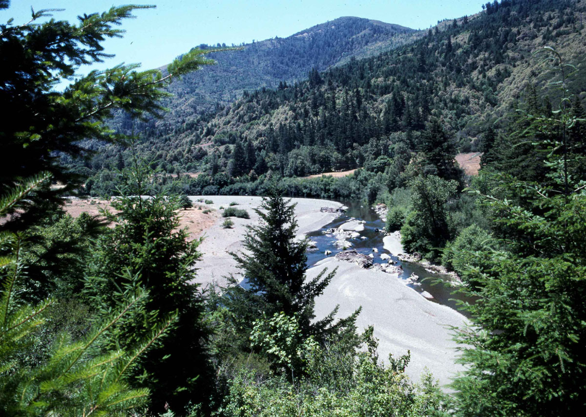