
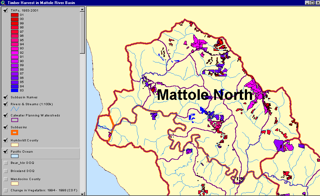
| Area | Northern Mattole |
| Topic | Timber Harvest: Percent Area Harvested, N. Mattole Subbasin 1983-2001 |
The image above shows the Timber Harvest Plans approved (but not necessarily implemented) between 1983 and 2001 in the Northern Mattole Subbasin. This image was captured from the KRIS Mattole Map project.
The image above shows the change in vegetation in the Northern Mattole between 1994 and 1998. Legend is at left. This image was captured from the KRIS Mattole Map project.
 Click on image to enlarge (40K).
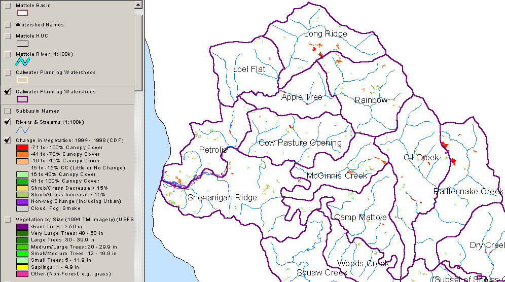 Click on image to enlarge (360K).
To learn more about this topic click Info Links
| www.krisweb.com |