| Area |
Southern Mattole |
| Topic |
Sediment: V* From Mill Creek, 1992 |
 Click on image to enlarge (80K). Click here to display a larger version (204K).
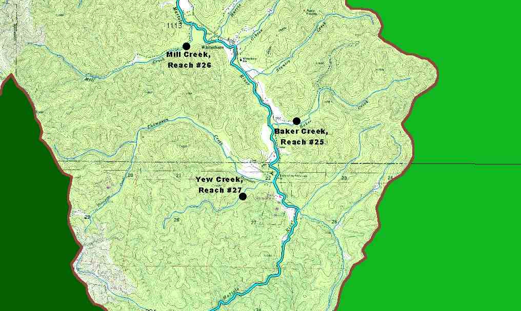
The map above shows the three Knopp study sites in the Southern Mattole sub-basin. Knopp (1993) collected data on the amount of fine sediment in pools, pebble counts, large wood and pool frequency statistics for 60 northcoast streams. See the Chart Table for V* results of this study in the Mattole basin. The Source Table contains the results from all the indices measured for sixty-one streams.
 Click on image to enlarge (115K).
The map above shows the five Knopp study site from the Mattole River. Knopp (1993) collected data on the amount of fine sediment in pools, pebble counts, large wood and pool frequency statistics for 60 northcoast streams. Each reach is 1000 meters long.
To learn more about this topic click Info Links

 Click on image to enlarge (80K). Click here to display a larger version (204K).
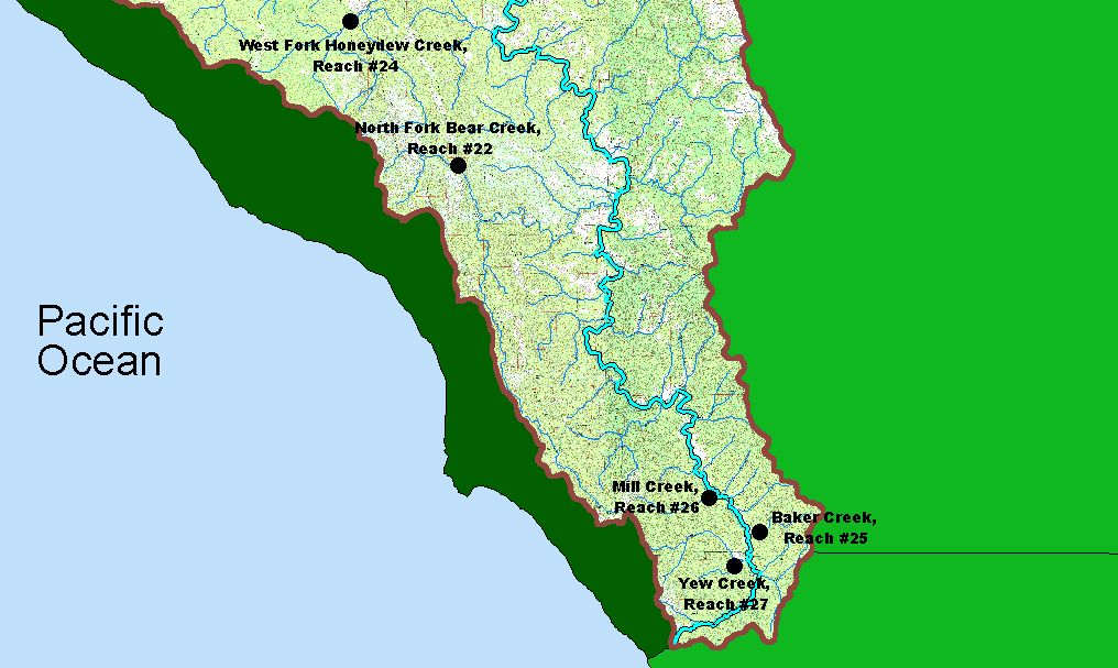 Click on image to enlarge (115K).
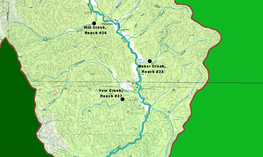