| Area |
Southern Mattole |
| Topic |
Timber Harvest: Annual Prcnt Area Harvested, Thompson Cr CW 1983-2001 |
 Click on image to enlarge (80K). Click here to display a larger version (178K).
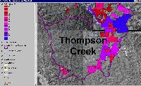
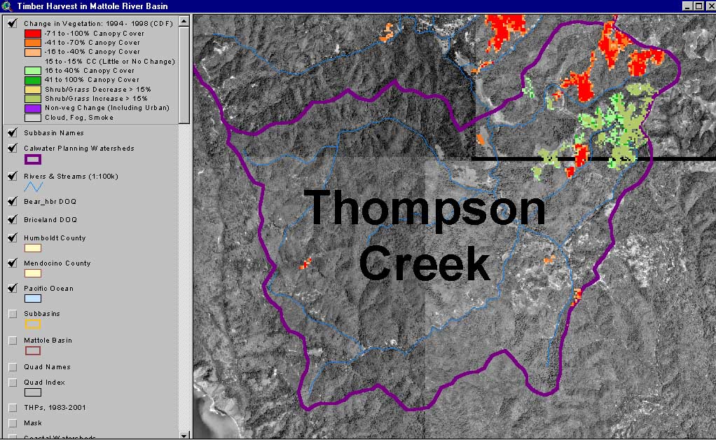
The image above shows the change in vegetation (calculated by the California Department of Forestry using satellite images) between 1994 and 1998 in the Thompson Creek Calwater Planning Watershed , overlayed on top of USGS Digital Orthophoto Quadrangles (DOQs). Green represents re-vegetation and red represents loss of canopy cover. This image was captured from the KRIS Mattole Map project.
 Click on image to enlarge (82K). Click here to display a larger version (174K).
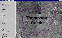
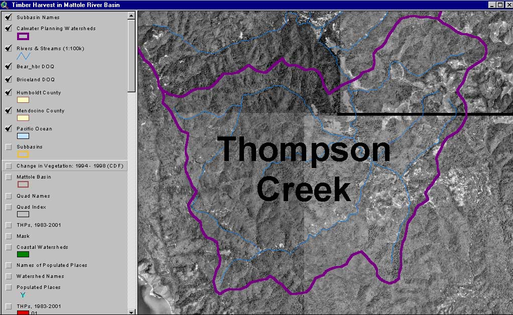
The image above shows the USGS Digital Orthophoto Quadrangles (DOQs) in the Thompson Creek Calwater Planning Watershed. This image was captured from the KRIS Mattole Map project.
 Click on image to enlarge (86K). Click here to display a larger version (184K).
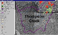
The image above is a clip of the digital ortho quad (DOQ) coverage of the Thompson Creek Calwater illustrating vegetation change between 1994 -1998. Green represents re-vegetation and red represents loss of canopy cover during this period. Use the zoom and pan buttons with your mouse to navigate around the image. This image was captured from the KRIS Redwood Map project
To learn more about this topic click Info Links

 Click on image to enlarge (80K). Click here to display a larger version (178K).
 Click on image to enlarge (82K). Click here to display a larger version (174K).
 Click on image to enlarge (86K). Click here to display a larger version (184K).
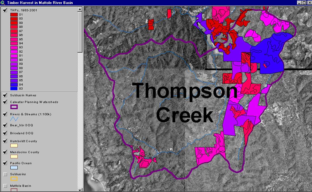