| Area |
Anderson Creek |
| Topic |
Tour: Soda Creek Upland Vegetation 2002 |
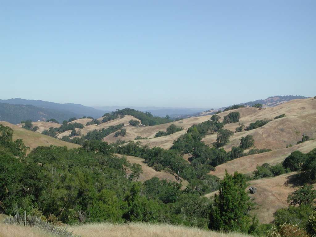
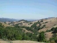 Click on image to enlarge (76K).
This photo looking west down Soda Creek shows the Central Belt Franciscan mélange in the foreground, which is grass and oak woodlands. The Coastal Belt Franciscan lies on the west of Anderson Valley and is visible at left in the distance and is easily distinguishable because it is forested with conifers. The coastal fog is also visible in the distance. Photo by Pat Higgins, June 12, 2002.
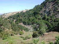 Click on image to enlarge (134K).
Soda Creek lies at the bottom of the valley just out of view. The bare areas indicate severe bank erosion and inner gorge failure at this site. Near view is mixed oak and grasslands that have had past grazing activity but appear lightly grazed at present. Photo by Pat Higgins, June 12, 2002.
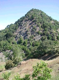 Click on image to enlarge (48K). Click here to display a larger version (269K).
Steep, rocky promontory to the north of Soda Creek forested in hardwoods. Grass and oak woodlands cover the hillside in the foreground. Photo by Pat Higgins, June 12, 2002.
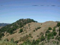 Click on image to enlarge (74K).
The grassy hillslope that comprises most of this photo is a series of earthflows. This type of terrain has high erosion potential even if undisturbed. Photo by Pat Higgins, June 12, 2002.
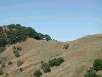 Click on image to enlarge (58K).
Close up of grazing stock on unstable slopes of Soda Creek. The soils of the hillside have been compressed by repeated grazing as evidenced by the pattern of trails worn into the hillside. Photo by Pat Higgins, June 12, 2002.
To learn more about this topic click Info Links
To view additional information (data source, aquisition date etc.) about this page, click Metadata

 Click on image to enlarge (76K).
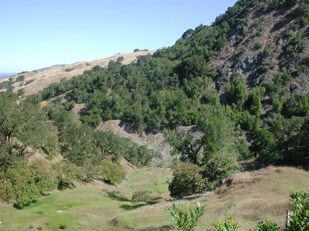 Click on image to enlarge (134K).
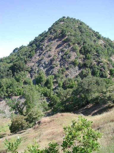 Click on image to enlarge (48K). Click here to display a larger version (269K).
 Click on image to enlarge (74K).
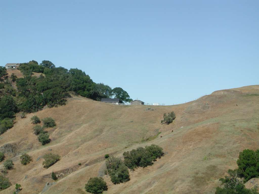 Click on image to enlarge (58K).