| Area |
Anderson Creek |
| Topic |
Tour: Anderson Creek at Highway 253 Bridge June 2002 |
 Click on image to enlarge (59K). Click here to display a larger version (180K).
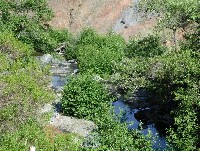
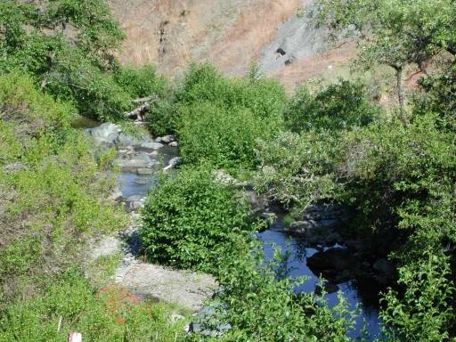
View of Anderson Creek looking downstream from the Highway 253 Bridge. This confined reach of the creek has a large cobble and boulder bed. Young alders line the immediate stream bank and grasses cover the back terrace. The stream is naturally subject to warming in the oak woodlands associated with mélange terrain but disturbed sites are even more so. Photo by Pat Higgins, 6/12/02.
 Click on image to enlarge (54K). Click here to display a larger version (325K).
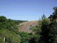
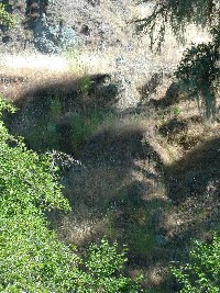
The photo shows Anderson Creek but also upland areas just downstream of Highway 253. The Anderson Creek basin is in Central Belt Franciscan mélange and is naturally prone to erosion. The road location (linear feature at top of photo) may have accelerated erosional process at this location. This area may also have a history of grazing. Photo by Pat Higgins, 6/12/02.
 Click on image to enlarge (96K).
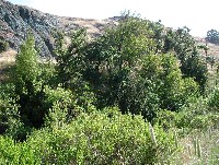
Wider view of Anderson Creek looking downstream of Highway 253 showing slide from previous Picture (#2) but also native oak riparian overstory downstream on the left. Photo by Pat Higgins, 9/21/01.
 Click on image to enlarge (59K). Click here to display a larger version (202K).
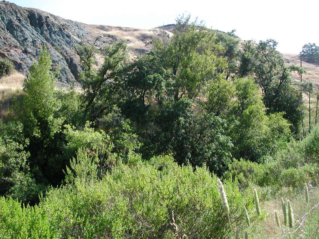
This photo was taken looking east off the shoulder of the Highway 253 Bridge and shows oak riparian on the far bank of Anderson Creek, which is out of view. In the foreground Baccharis (coyote brush) has colonized the disturbed area next to the highway. Up hill of the oaks is bare soil with gully erosion. Note the road bench at the toe of the disturbed slope. Photo by Pat Higgins, 6/12/02.
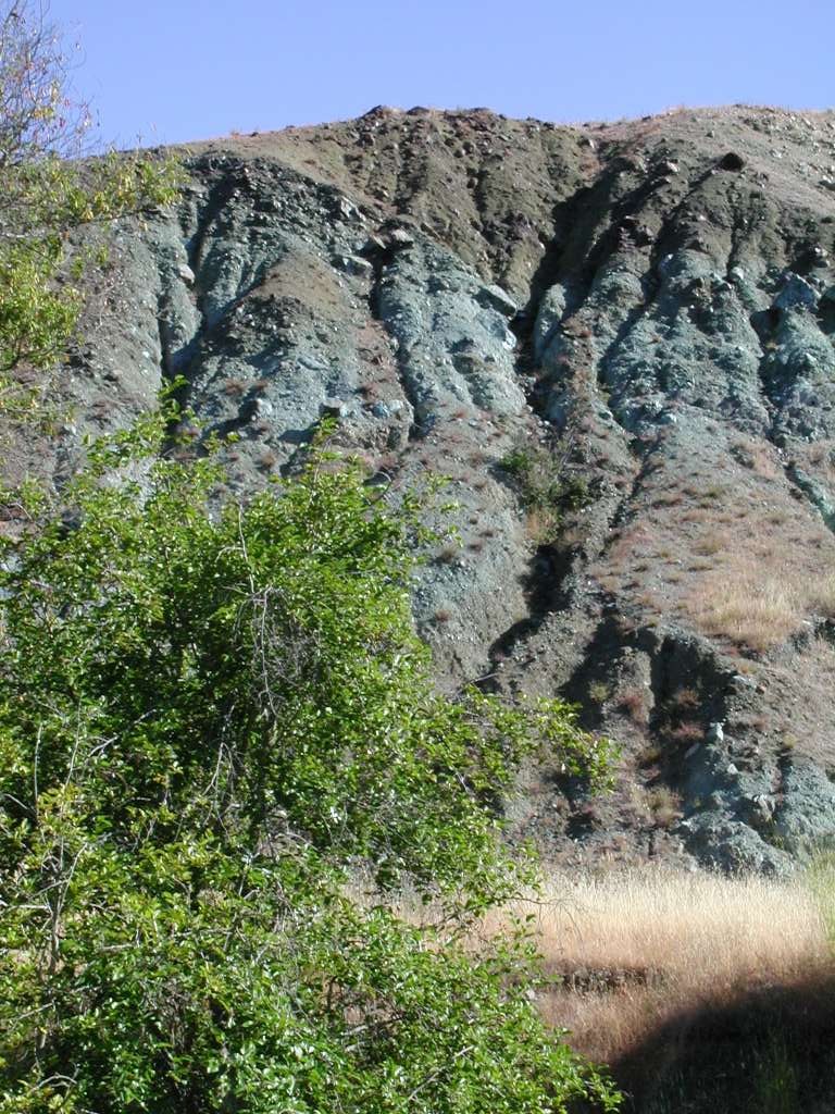
 Click on image to enlarge (57K). Click here to display a larger version (303K).
This eroding soil has a green tinge which is characteristic of Serpentine derived soils of the melange terrain. The flat area at the toe of the feature is an old road which was cut across this sheared material and lead to soil loss through sheet and gully erosion. See the next photo for the area below this focus just above the creek itself. Photo by Pat Higgins, 6/12/02.
 Click on image to enlarge (55K). Click here to display a larger version (330K).
Healing gully coming off old road immediately above Anderson Creek at Highway 253. The bottom of the large gullied cut bank feature (Picture #5) is just visible at the top of this photo. Photo by Pat Higgins, 6/12/02.
 Click on image to enlarge (57K). Click here to display a larger version (190K).
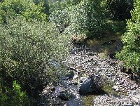
Looking upstream on Anderson Creek off the Highway 253 Bridge. Note the old bridge abutment, likely part of crossing destroyed by a flood event. Photo by Pat Higgins, 6/12/02.
 Click on image to enlarge (66K). Click here to display a larger version (226K).
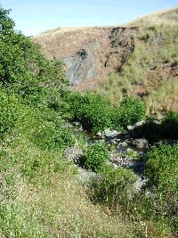
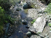
Looking upstream off Highway 253 Bridge where Anderson Creek scours a small pocket around boulders. Native oak trees and willow form the riparian of the stream here. Photo by Pat Higgins, 6/12/02.
To learn more about this topic click Info Links
To view additional information (data source, aquisition date etc.) about this page, click Metadata

 Click on image to enlarge (59K). Click here to display a larger version (180K).
 Click on image to enlarge (54K). Click here to display a larger version (325K).
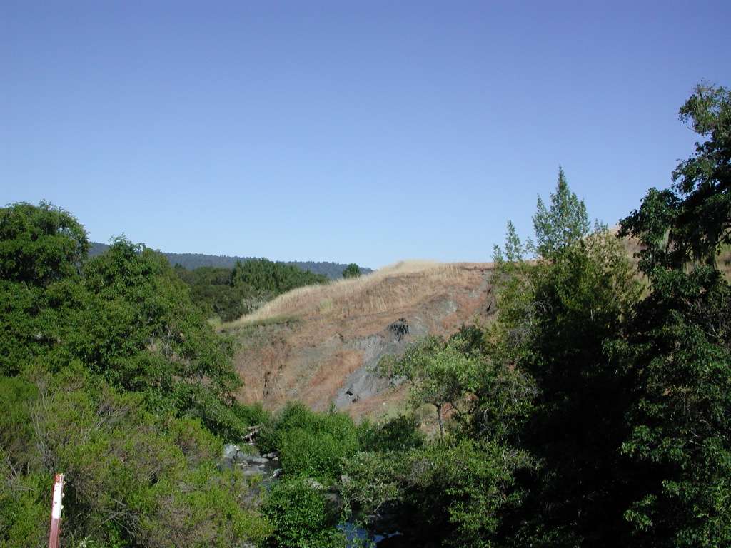 Click on image to enlarge (96K).
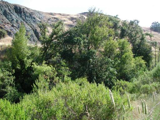 Click on image to enlarge (59K). Click here to display a larger version (202K).
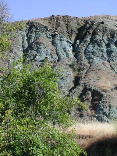 Click on image to enlarge (57K). Click here to display a larger version (303K).
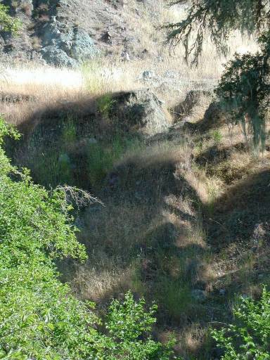 Click on image to enlarge (55K). Click here to display a larger version (330K).
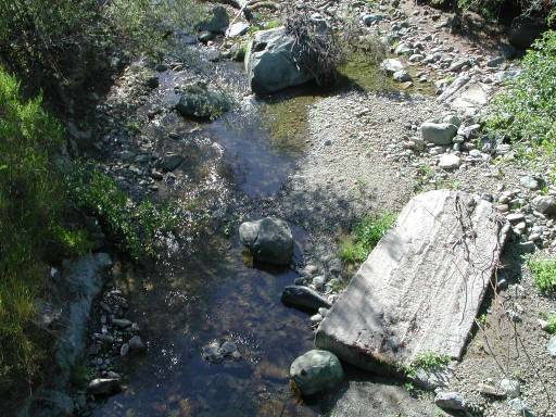 Click on image to enlarge (57K). Click here to display a larger version (190K).
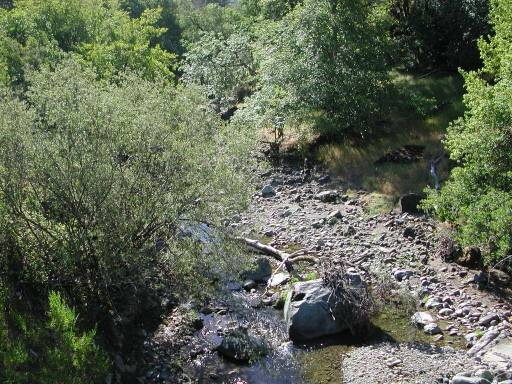 Click on image to enlarge (66K). Click here to display a larger version (226K).
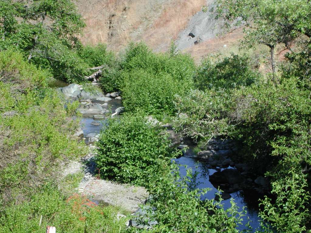