

|
Area/Topic | Bibliography | Background | Hypotheses | Home |
|
Map Page.
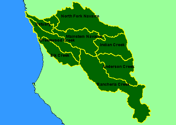
You selected the area Basinwide and the topic Map: 1B Sub-basins, Navarro Project Area |
| This is a map of the KRIS sub-basins in the KRIS Navarro project area. These include the Elk and Greenwood Creek watersheds that lie to the west of the Navarro River watershed proper. Scale = 1:438,041 . | |||
|
|
||
To view metadata about a map layer, click on a link in the table below.
| Name of Layer in Map Legend | Metadata File Name |
|---|---|
| Sub-basins (w/ labels) | subbasins.shp.txt |
| Project Frame | Unavailable |
| www.krisweb.com |