
|
Area/Topic | Bibliography | Background | Hypotheses | Home |
|
Map Page.
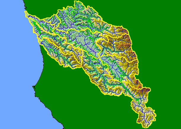
You selected the area Basinwide and the topic Map: 1C Hydrography with DEM, Navarro Project Area |
| This is a map of KRIS sub-basins, 1:100,000 scale US Geologic Survey streams and an elevation map for the KRIS Navarro project area. The Navarro watershed is bounded on the west and east by the Coast Range, but has a large, flat interior area (Anderson Valley). The highest points are over 3000 feet in the eastern portion of the basin. The hillshade elevation is a Digital Elevation Model (DEM) based on 10 meter data provided by the California Department of Forestry. Scale = 1:431,172 . | |||
|
|
||
To view metadata about a map layer, click on a link in the table below.
| Name of Layer in Map Legend | Metadata File Name |
|---|---|
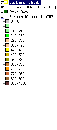
| Sub-basins (no labels) | subbasins.shp.txt |
| Streams (1:100k scale)(no labels) | streams100.shp.txt |
| Project Frame | Unavailable |
| Elevation (10 m resolution)(TIFF) | elev10.tif.txt |
| Topo Map (1:24k scale) | Unavailable |
| www.krisweb.com |