
|
Area/Topic | Bibliography | Background | Hypotheses | Home |
|
Map Page.
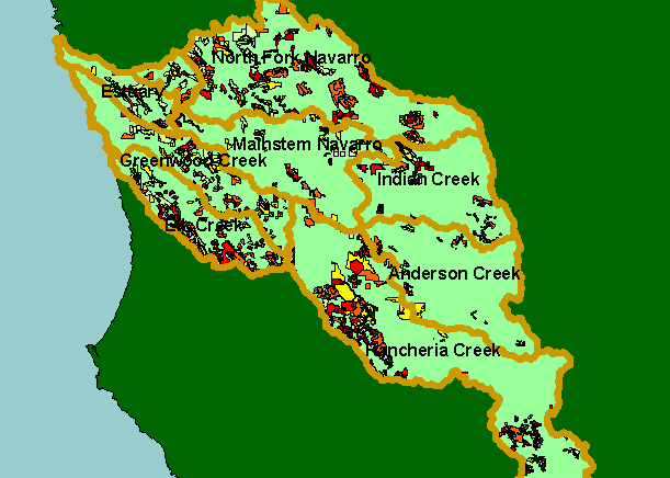
You selected the area Basinwide and the topic Timber Harvest: Percent of Watershed Cut by Calwater 1990-2002 |
| This is a map of timber harvest layers in the KRIS Navarro Project Area. Data were provided by the California Department of Forestry and show only harvests permitted between 1990 and 2000. Harvests were highest in the North Fork, Rancheria Creek and Greenwood and Elk creeks. Data were contributed by the California Department of Forestry (CDF). | |||
|
|
||
To view metadata about a map layer, click on a link in the table below.
| Name of Layer in Map Legend | Metadata File Name |
|---|---|
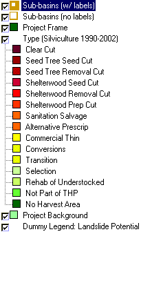
| Sub-basins (w/ labels) | subbasins.shp.txt |
| Sub-basins (no labels) | subbasins.shp.txt |
| Project Frame | Unavailable |
| Change in Veget. (1994-98)(TIFF) | vegchg.tif.txt |
| Type (Silviculture 1990-2002) | thpcwrgns.shp.txt |
| Landslide Potential (Shalstab) [TIFF] | navarro_shalstab.tif.txt |
| Topo Map (1:24k scale) | Unavailable |
| Gray Hillshade of Elevtn (TIFF) | grayscale_xnv_light.tif.txt |
| Percent Slope of Elevation | slope1.tif.txt |
| Elevation (10 m resolution)(TIFF) | elev10.tif.txt |
| Project Background | Unavailable |
| Dummy Legend: Landslide Potential | shalstab.shp.txt |
| www.krisweb.com |