
|
Area/Topic | Bibliography | Background | Hypotheses | Home |
|
Map Page.
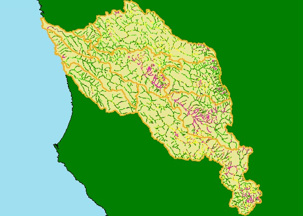
You selected the area Basinwide and the topic Map: 1H USFS Riparian Veg Size, Navarro Project Area |
| This is a map of 1994 USFS Landsat vegetation size data within 90-meter riparian buffer zones in the KRIS Navarro Project Area. Agricultural areas and streams draining melange on the eastern basin border have Non-Forest signatures. Saplings (yellow) are trees less than five inches diameter and may represent oak woodlands or early seral stage conditions after timber harvest. There are few trees over 40 inches (Very Large/Giant) due to past timber harvests. Data provided by the U.S. Forest Service Pacific Southwest Region Remote Sensing Lab, Sacramento, CA. Scale = 1:428,530 . | |||
|
|
||
To view metadata about a map layer, click on a link in the table below.
| Name of Layer in Map Legend | Metadata File Name |
|---|---|
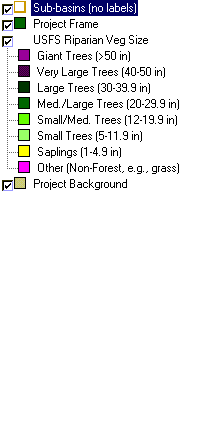
| Sub-basins (no labels) | subbasins.shp.txt |
| Project Frame | Unavailable |
| USFS Riparian Veg Size | vegsizebuf.tif.txt |
| USFS Vegetation Size | vegsize.tif.txt |
| Topo Map (1:24k scale) | Unavailable |
| Graycale Hillshade (TIFF) | grayscale_xnv_light.tif.txt |
| Project Background | Unavailable |
| www.krisweb.com |