| Area |
Basinwide |
| Topic |
Stream Channel: Percent Change in Channel Widths 1952-1992 |
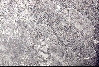 Click on image to enlarge (54K). Click here to display a larger version (236K).
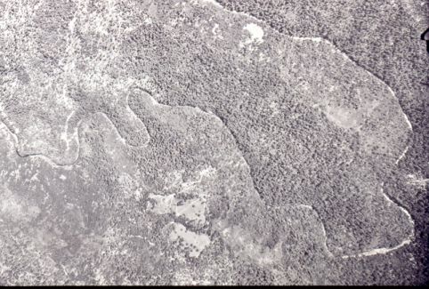
This photo shows the Big Bend on Rancheria Creek in 1952. Notice the forested hillsides and shaded stream. Photo courtesy of Dan Sicular.
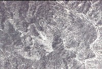 Click on image to enlarge (48K). Click here to display a larger version (207K).
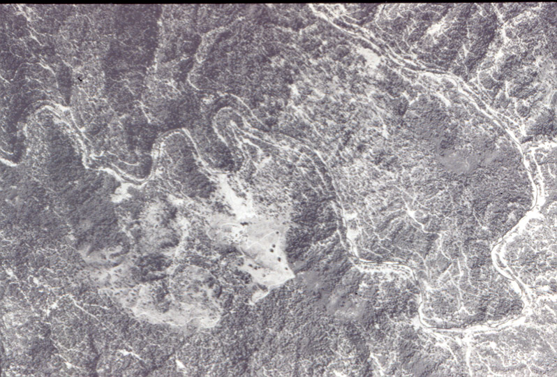
This photo shows the Big Bend on Rancheria Creek in 1965. Small white lines on the hillsides are logging roads. Notice the clearcut slopes and lack of streamside vegetation. Much of the stream bed is exposed and flowing in a wide, unconfined channel. The winter of 1964 brought heavy rainfall and large flows to the streams of Mendocino County. Photo courtesy of Dan Sicular.
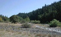 Click on image to enlarge (60K). Click here to display a larger version (621K).
The photo shows upper Anderson Creek in summer 2001. Notice the lack of a defined channel and broad floodplain. Photo courtesy of Pat Higgins.
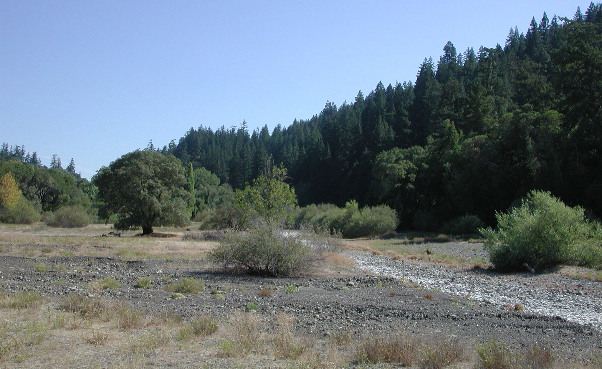
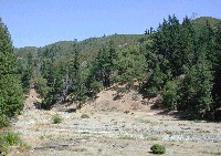 Click on image to enlarge (68K). Click here to display a larger version (627K).
The photo shows upper Rancheria Creek in summer 2001. Notice the wide floodplain and aggraded channel. Photo courtesy of Pat Higgins.
To learn more about this topic click Info Links
To view additional information (data source, aquisition date etc.) about this page, click Metadata

 Click on image to enlarge (54K). Click here to display a larger version (236K).
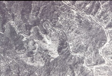 Click on image to enlarge (48K). Click here to display a larger version (207K).
 Click on image to enlarge (60K). Click here to display a larger version (621K).
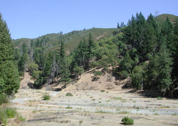 Click on image to enlarge (68K). Click here to display a larger version (627K).