| Area |
Greenwood Creek |
| Topic |
Tour: Greenwood Creek Watershed and Vegetation 2001 and 2002 |
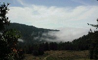 Click on image to enlarge (75K). Click here to display a larger version (406K).
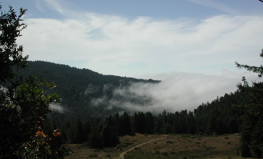
View looking south from Greenwood Ridge Road across the Greenwood Cr watershed. Photo shows fog moving eastward from the ocean along Greenwood Cr. Along the coast, fog shades the stream channels, lowering stream temperatures. Photo by Pat Higgins, 9/21/01.
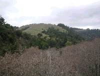 Click on image to enlarge (57K). Click here to display a larger version (175K).
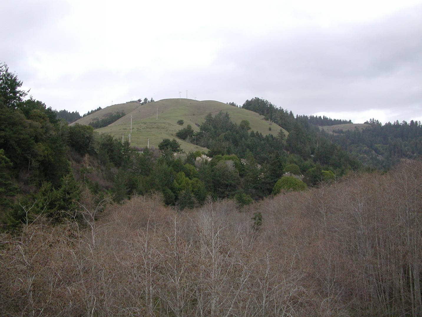
View looking east off Highway 1 Bridge at grassy uplands interspersed with mixed hardwood-conifer forests and alder trees in the riparian zone of Greenwood Creek. Photo provided by Pat Higgins, February 15, 2002.
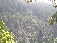 Click on image to enlarge (125K). Click here to display a larger version (799K).
View of shallow landslide on the southern ridge of Greenwood Cr watershed. Photo shows the effect of clear cutting on steep slopes. Notice lush coniferous forest on the right. Photo by Pat Higgins, 9/21/01.
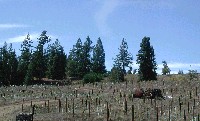 Click on image to enlarge (117K). Click here to display a larger version (566K).
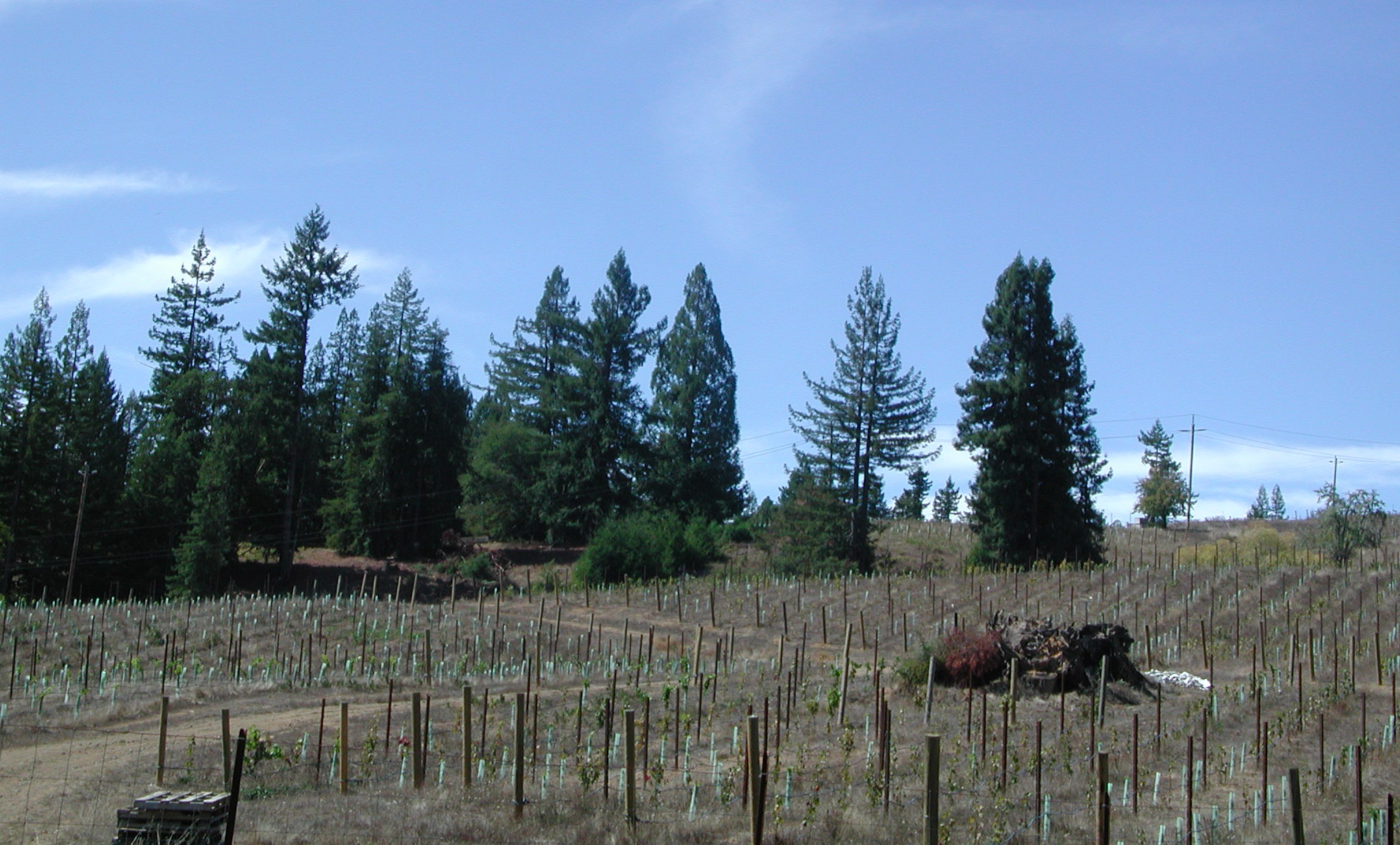
View of coniferous forest converted to vineyard along Greenwood Ridge Road. Photo by Pat Higgins, 9/21/01.
To learn more about this topic click Info Links
To view additional information (data source, aquisition date etc.) about this page, click Metadata

 Click on image to enlarge (75K). Click here to display a larger version (406K).
 Click on image to enlarge (57K). Click here to display a larger version (175K).
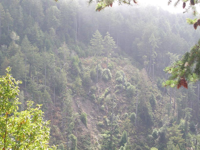 Click on image to enlarge (125K). Click here to display a larger version (799K).
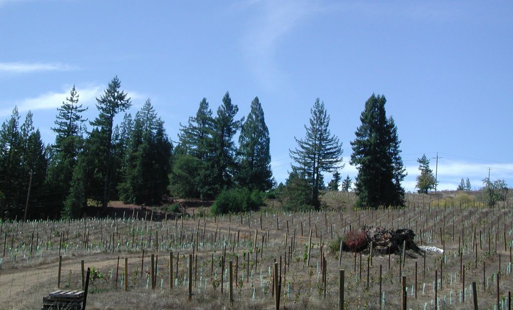 Click on image to enlarge (117K). Click here to display a larger version (566K).
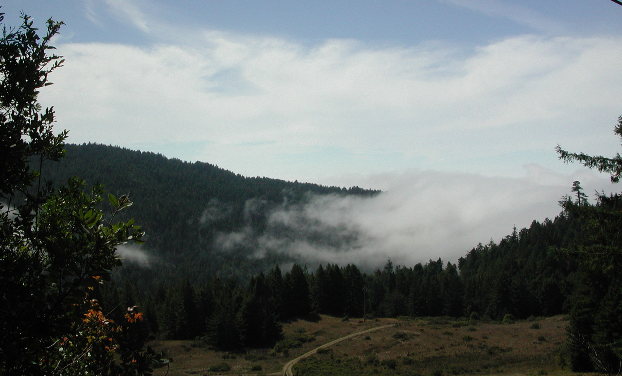