
|
Area/Topic | Bibliography | Background | Hypotheses | Home |
|
Map Page.
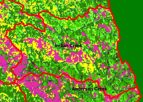
You selected the area Indian Creek and the topic Map: 1F USFS Vegetation Size, Indian Creek Sub-basin |
| This is a map of 1994 Landsat derived vegetation size data in the Indian Creek sub-basin, displayed with 1:100,000 scale streams. The large Non-Forest and Sapling components are partially driven by underlying geology of the Central Belt Franciscan terrain; however, timber harvest has been active in this basin in the past and is in part responsible for some areas of small diameter trees. Data provided by the U.S. Forest Service Pacific Southwest Region Remote Sensing Lab, Sacramento, CA. Scale = 1:106,791 . | |||
|
|
||
To view metadata about a map layer, click on a link in the table below.
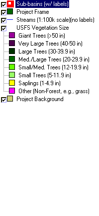
| Name of Layer in Map Legend | Metadata File Name |
|---|---|
| Sub-basins (w/ labels) | subbasins.shp.txt |
| Project Frame | Unavailable |
| Streams (1:100k scale)(no labels) | streams100.shp.txt |
| USFS Riparian Veg Size | vegsizebuf.tif.txt |
| USFS Vegetation Size | vegsize.tif.txt |
| Topo Map (1:24k scale) | Unavailable |
| Graycale Hillshade (TIFF) | grayscale_xnv_light.tif.txt |
| Project Background | Unavailable |
| www.krisweb.com |