
|
Area/Topic | Bibliography | Background | Hypotheses | Home |
|
Map Page.
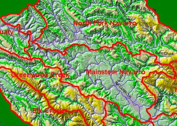
You selected the area Mainstem and the topic Map: 1B Hydrography with DEM, Mainstem Navarro Sub-basin |
| This is a map of the 1:100,000 scale streams in the Mainstem Navarro sub-basin displayed with a Digital Elevation Model (DEM) with elevation shown in meters. The basin has mostly low relief with elevation only rising abruptly in the upper Mill Creek watershed. Hydrography is from the U.S. Geologic Survey while ten meter data on which the Digital Elevation Model (DEM) is built are from the California Department of Forestry. Scale = 1:157,083 . | |||
|
|
||
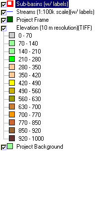
To view metadata about a map layer, click on a link in the table below.
| Name of Layer in Map Legend | Metadata File Name |
|---|---|
| Sub-basins (w/ labels) | subbasins.shp.txt |
| Streams (1:100k scale)(w/ labels) | streams100.shp.txt |
| Project Frame | Unavailable |
| Elevation (10 m resolution)(TIFF) | elev10.tif.txt |
| Topo Map (1:24k scale) | Unavailable |
| Project Background | Unavailable |
| www.krisweb.com |