
|
Area/Topic | Bibliography | Background | Hypotheses | Home |
|
Map Page.
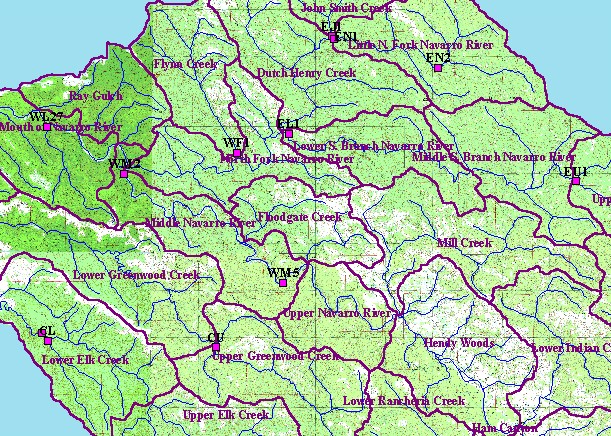
You selected the area Mainstem and the topic Sediment: McNeil Samples for Middle Navarro River WM2 1999 |
| This is a map of the Mendocino Redwood Company's channel survey sites in the KRIS Navarro Project Area. The sites are displayed with USGS 1:24,000 hydrography and topographic map. | |||
|
|
||
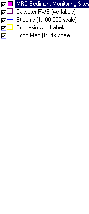
To view metadata about a map layer, click on a link in the table below.
| Name of Layer in Map Legend | Metadata File Name |
|---|---|
| MRC Sediment Monitoring Sites | channelsites.shp.txt |
| Calwater PWS (w/ labels) | calw22.shp.txt |
| Streams (1:100,000 scale) | streams100.shp.txt |
| Subbasin w/o Labels | subbasins.shp.txt |
| Topo Map (1:24k scale) | Unavailable |
| www.krisweb.com |