
|
Area/Topic | Bibliography | Background | Hypotheses | Home |
|
Map Page.
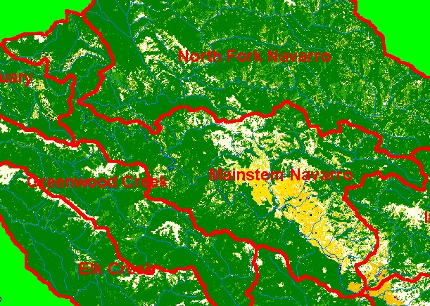
You selected the area Mainstem and the topic Map: 1D EPA Landcover/Landuse, Mainstem Navarro Sub-basin |
| This is a map of the landcover and land use in the KRIS Mainstem Navarro sub-basin according to U.S. Environmental Protection Agency data based on a 1992 Landsat image. Much of the western, northern and northeastern parts of the project are in coniferous forest. The bottom of Anderson Valley shows as areas of orchards and vineyards. Grasslands and hardwood forest reflect patches of Central Belt Franciscan mťlange terrain along the ridges at the top of Mill Creek. Scale = 1:157,083 . | |||
|
|
||
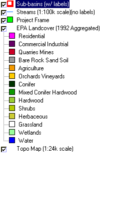
To view metadata about a map layer, click on a link in the table below.
| Name of Layer in Map Legend | Metadata File Name |
|---|---|
| Sub-basins (w/ labels) | subbasins.shp.txt |
| Streams (1:100k scale)(no labels) | streams100.shp.txt |
| Project Frame | Unavailable |
| EPA Landcover (1992 Aggregated) | lndcov2.tif.txt |
| EPA Landcover (1992) | lndcov.tif.txt |
| Topo Map (1:24k scale) | Unavailable |
| www.krisweb.com |