
|
Area/Topic | Bibliography | Background | Hypotheses | Home |
|
Map Page.
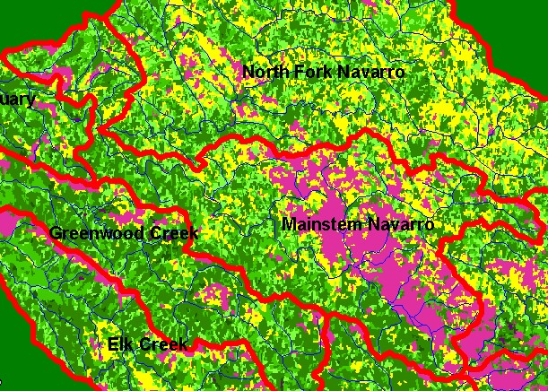
You selected the area Mainstem and the topic Map: 1F USFS Vegetation Size, Mainstem Navarro Sub-basin |
| This is a map of 1994 USFS Landsat vegetation size data in the Mainstem Navarro sub-basin, displayed with KRIS sub-basins and 1:100,000 scale streams. The vegetation classification is accurate at a one-hectare scale (approximately 11 pixels) and is suitable for stand classification. Agricultural areas show up as Non-Forest as do uplands covered in grasslands. Small Tree and Saplings in some locations to the north and west may be in part owing to active logging. Data provided by the U.S. Forest Service Spatial Analysis Lab in Sacramento, CA. | |||
|
|
||
To view metadata about a map layer, click on a link in the table below.
| Name of Layer in Map Legend | Metadata File Name |
|---|---|
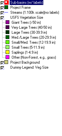
| Sub-basins (w/ labels) | subbasins.shp.txt |
| Project Frame | Unavailable |
| Streams (1:100k scale)(no labels) | streams100.shp.txt |
| USFS Riparian Veg Size | vegsizebuf.tif.txt |
| USFS Vegetation Size | vegsize.tif.txt |
| Topo Map (1:24k scale) | Unavailable |
| Graycale Hillshade (TIFF) | grayscale_xnv_light.tif.txt |
| Project Background | Unavailable |
| Dummy Legend: Veg Size | vegsize_fc.shp.txt |
| www.krisweb.com |