| Area |
Mainstem |
| Topic |
Tour: Navarro River High Winter Flow Photos, 2002 (also vs. low flow) |
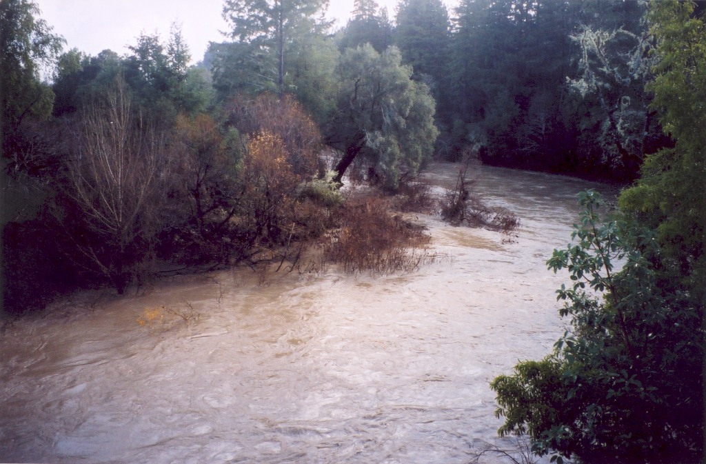
 Click on image to enlarge (36K). Click here to display a larger version (260K).
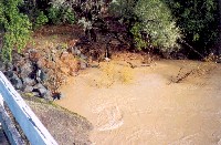
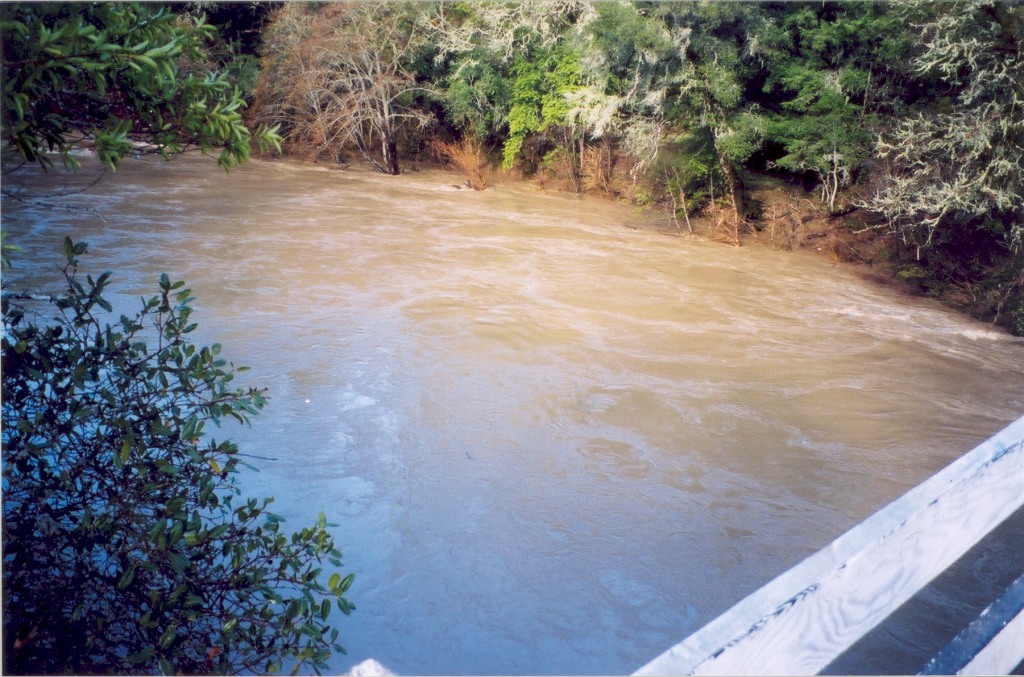
This photo shows the Navarro River from the Philo-Greenwood Road bridge, during high winter flows at 2pm on December 31, 2002, flowing at approximately 10,000 cubic feet per second. This photograph looks upstream, on the north side of the river. Photo was taken by Eli Asarian.
 Click on image to enlarge (25K). Click here to display a larger version (212K).
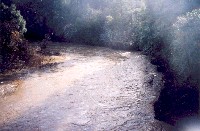
This photo shows the Navarro River from the Philo-Greenwood Road bridge, during high winter flows at 2pm on December 31, 2002, flowing at approximately 10,000 cubic feet per second. This photograph looks upstream, towards the south bank of the river. Photo was taken by Eli Asarian.
 Click on image to enlarge (27K). Click here to display a larger version (225K).
This photo shows the Navarro River from the Philo-Greenwood Road bridge, during high winter flows at 2pm on December 31, 2002, flowing at approximately 10,000 cubic feet per second. This photograph looks upstream, towards the south bank of the river. Photo was taken by Eli Asarian.
 Click on image to enlarge (33K). Click here to display a larger version (241K).
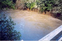
This photo shows the Navarro River from the Philo-Greenwood Road bridge, during high winter flows at 2pm on December 31, 2002, flowing at approximately 10,000 cubic feet per second. This photograph looks downstream, towards the north bank of the river. Photo was taken by Eli Asarian.
 Click on image to enlarge (23K). Click here to display a larger version (178K).
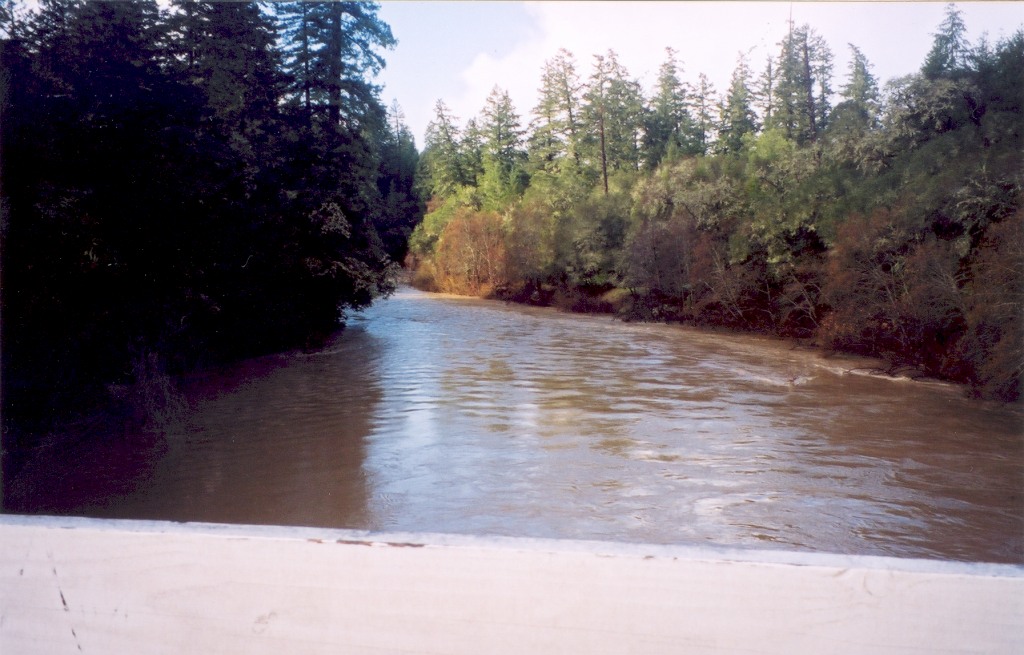
This photo shows the Navarro River from the Philo-Greenwood Road bridge, during high winter flows at 2pm on December 31, 2002, flowing at approximately 10,000 cubic feet per second. This photograph looks downstream. Photo was taken by Eli Asarian.
 Click on image to enlarge (103K). Click here to display a larger version (874K).
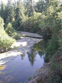
View looking upstream on the mainstem Navarro River near Greenwood Ridge Road Bridge at Hendy Woods State Park at the same location as Picture #2. The river flow had dropped to near 1 cfs at the USGS gauge on September 21, 2001 when this photo was taken. Photo by Pat Higgins.
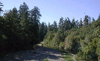 Click on image to enlarge (63K). Click here to display a larger version (645K).
View looking downstream on mainstem Navarro River on Greenwood Ridge Road Bridge near Hendy Woods State Park at the same location as Picture #5. Photo by Pat Higgins, 9/21/01.
To learn more about this topic click Info Links
To view additional information (data source, aquisition date etc.) about this page, click Metadata

 Click on image to enlarge (36K). Click here to display a larger version (260K).
 Click on image to enlarge (25K). Click here to display a larger version (212K).
 Click on image to enlarge (27K). Click here to display a larger version (225K).
 Click on image to enlarge (33K). Click here to display a larger version (241K).
 Click on image to enlarge (23K). Click here to display a larger version (178K).
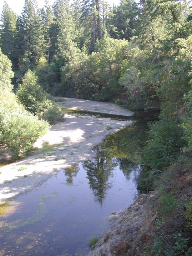 Click on image to enlarge (103K). Click here to display a larger version (874K).
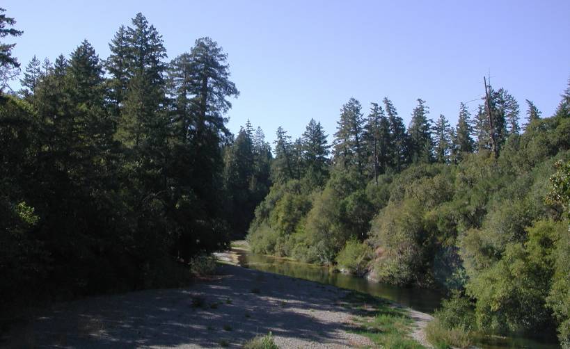 Click on image to enlarge (63K). Click here to display a larger version (645K).