| Area |
Mainstem |
| Topic |
Tour: Slump above Highway 128 in Anderson Valley, 2002 |
 Click on image to enlarge (30K). Click here to display a larger version (238K).
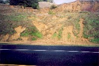
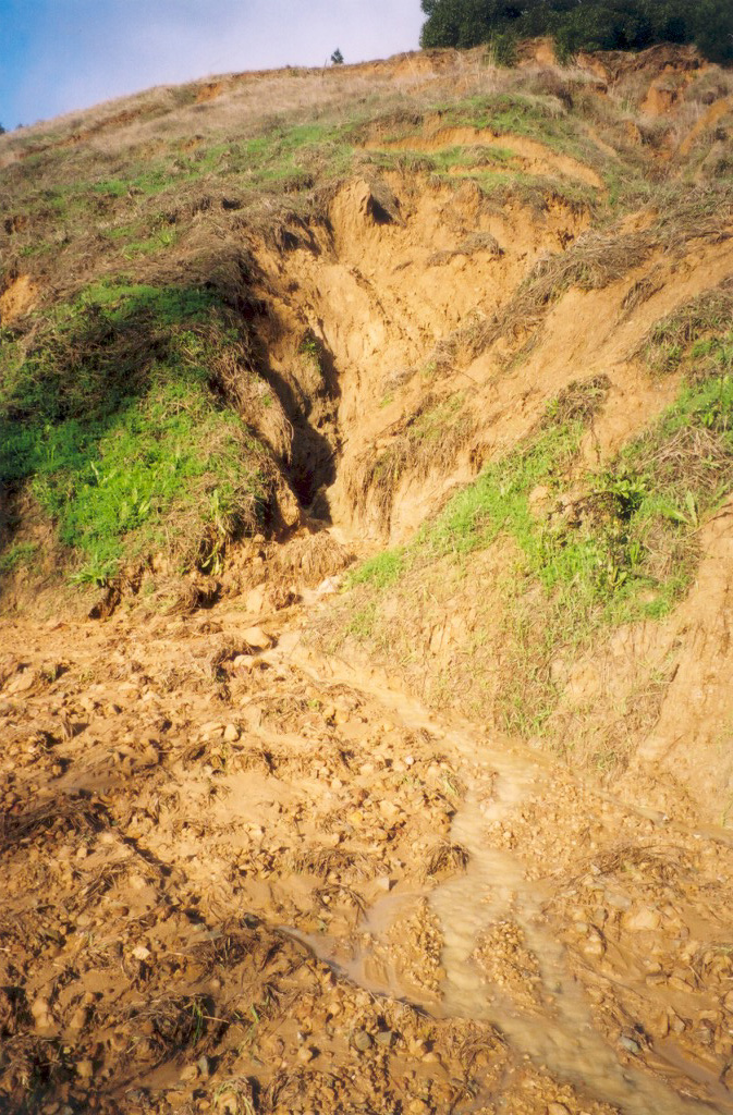
This photo shows an actively eroding slump above Highway 128 in Anderson Valley, on the straight stretch northwest of Boonville. A major winter storm had just finished, and sediment-laden water is running down the center of the slump. Photo was taken by Eli Asarian on December 31, 2002.
 Click on image to enlarge (51K). Click here to display a larger version (413K).
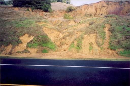
This photo is a close-up of the previous photo. It shows an actively eroding slump above Highway 128 in Anderson Valley, on the straight stretch northwest of Boonville. A major winter storm had just finished, and sediment-laden water is running down the center of the slump. Photo was taken by Eli Asarian on December 31, 2002.
 Click on image to enlarge (45K). Click here to display a larger version (358K).
This photo was taken several hundred feet southeast of the previous photo. It shows a gully running parallel to Highway 128, draining sediment-laden runoff from an actively eroding slump. Photo was taken by Eli Asarian on December 31, 2002.
 Click on image to enlarge (42K). Click here to display a larger version (278K).
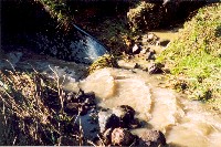
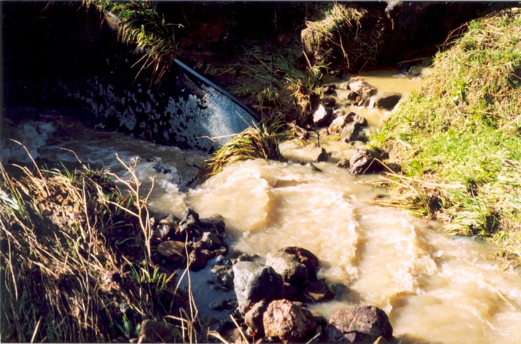
This photo was taken several feet southeast (downstream) of the previous photo. From the upper-right of the photograph, sediment-laden runoff from a roadside gully (fed by the actively eroding slump shown in photo #1 and #2) is entering an unnamed tributary to the Navarro River. Photo was taken by Eli Asarian on December 31, 2002.
To learn more about this topic click Info Links
To view additional information (data source, aquisition date etc.) about this page, click Metadata

 Click on image to enlarge (30K). Click here to display a larger version (238K).
 Click on image to enlarge (51K). Click here to display a larger version (413K).
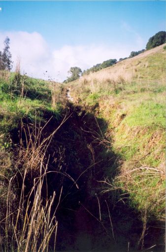 Click on image to enlarge (45K). Click here to display a larger version (358K).
 Click on image to enlarge (42K). Click here to display a larger version (278K).